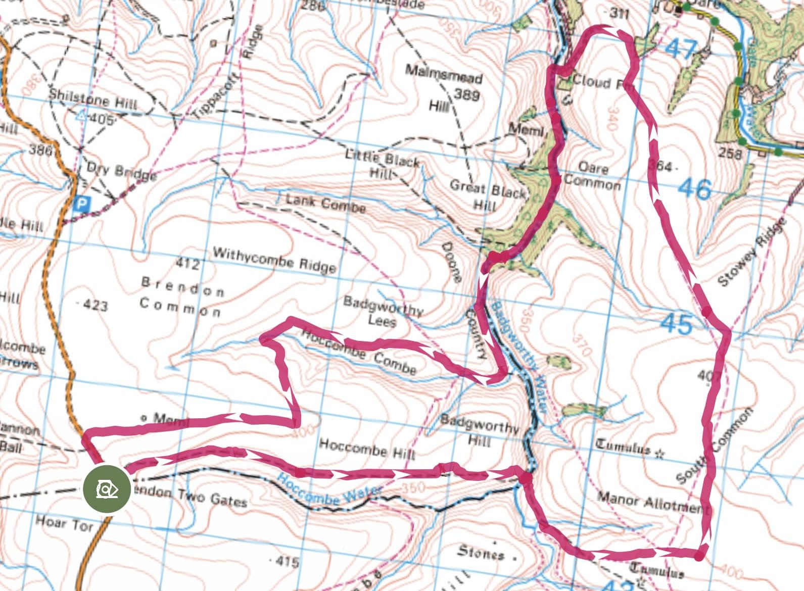
Brendon Two Gates, Manor Allotment and Doone Valley – 11.3 Miles
This wonderful long walk, kindly shared by Sarah Hailstone ofExmoor with Jack, takes you across Brendon Common, down into the Doone Valley and past some of Exmoor’s most evocative spots. At 11.3 miles it’s a big day out, but the scenery, wildlife, and history along the way make every step worthwhile.
The Route
Start: Park in the layby near the cattle grid on the B3223.
-
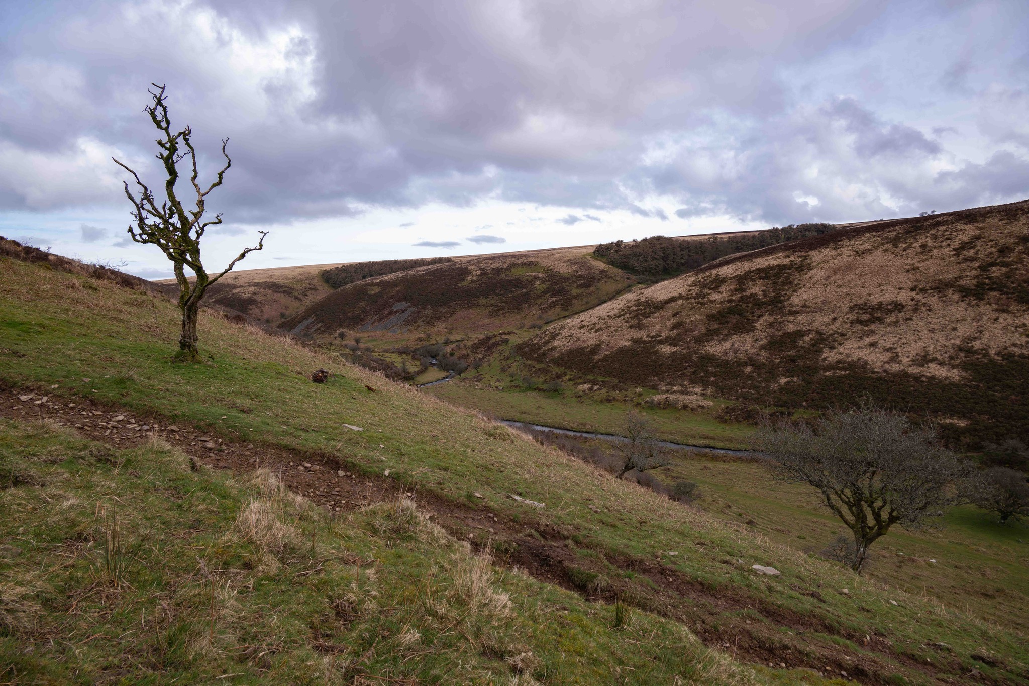
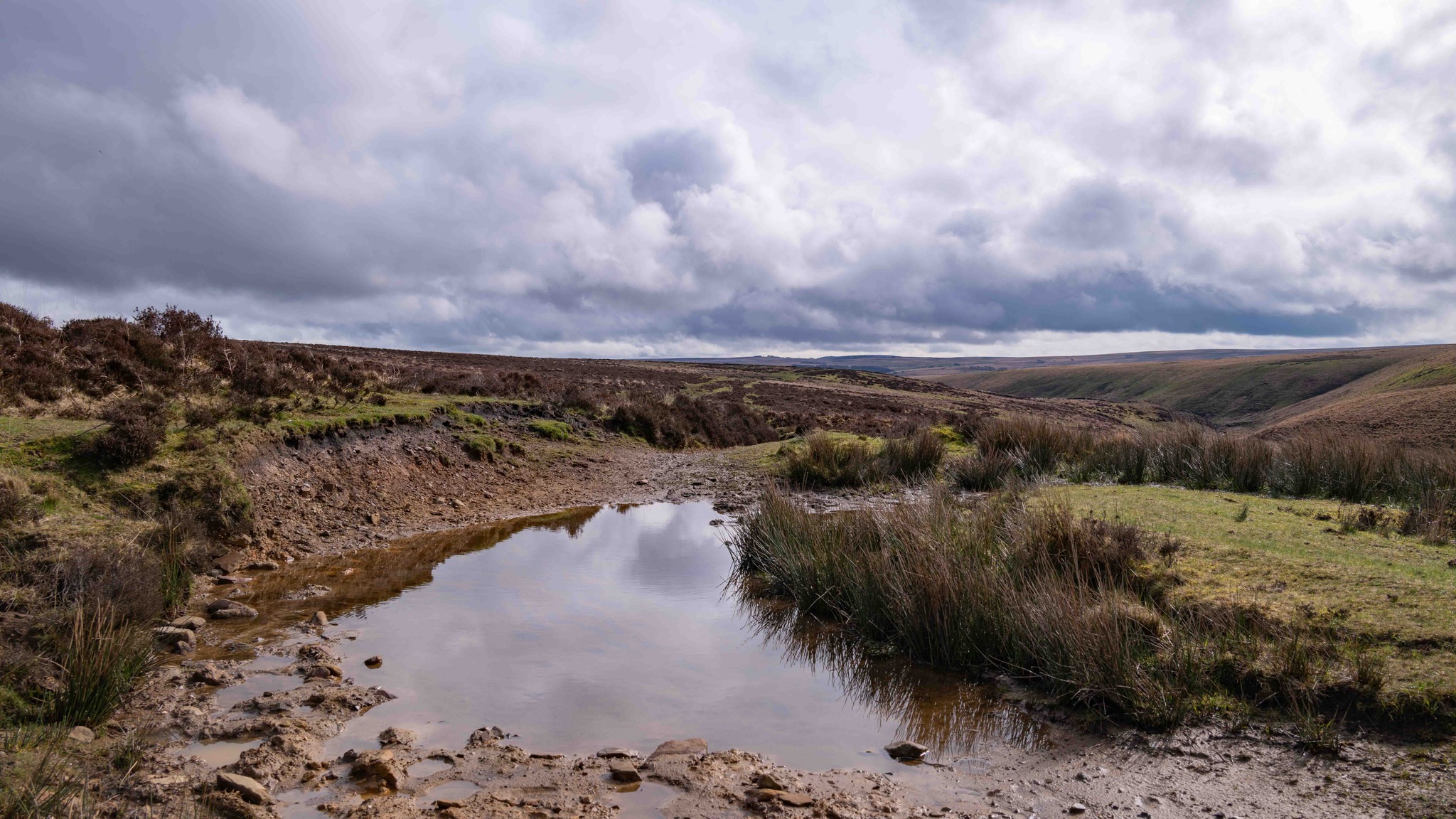
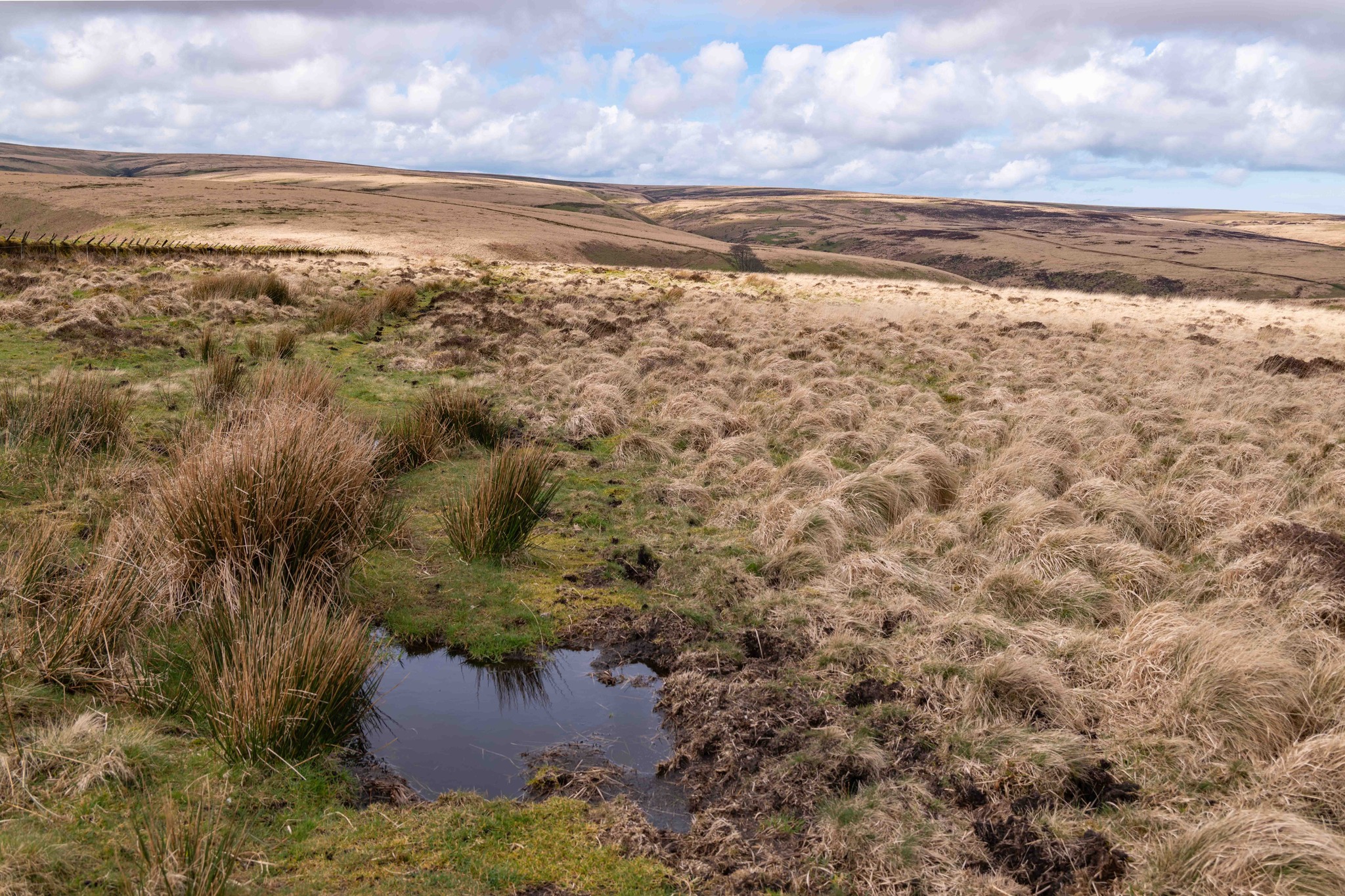
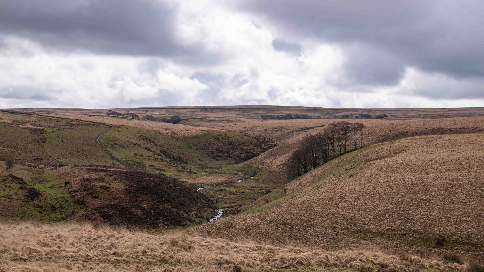
Cross onto Brendon Common and turn right onto the moor a short distance after, following a clear track that runs parallel with Hoccombe Water.
-
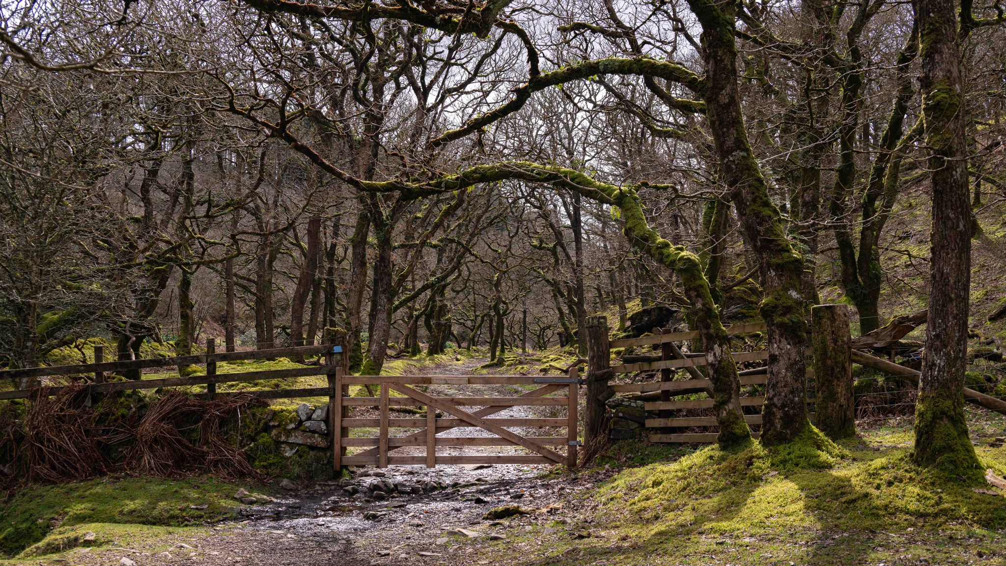
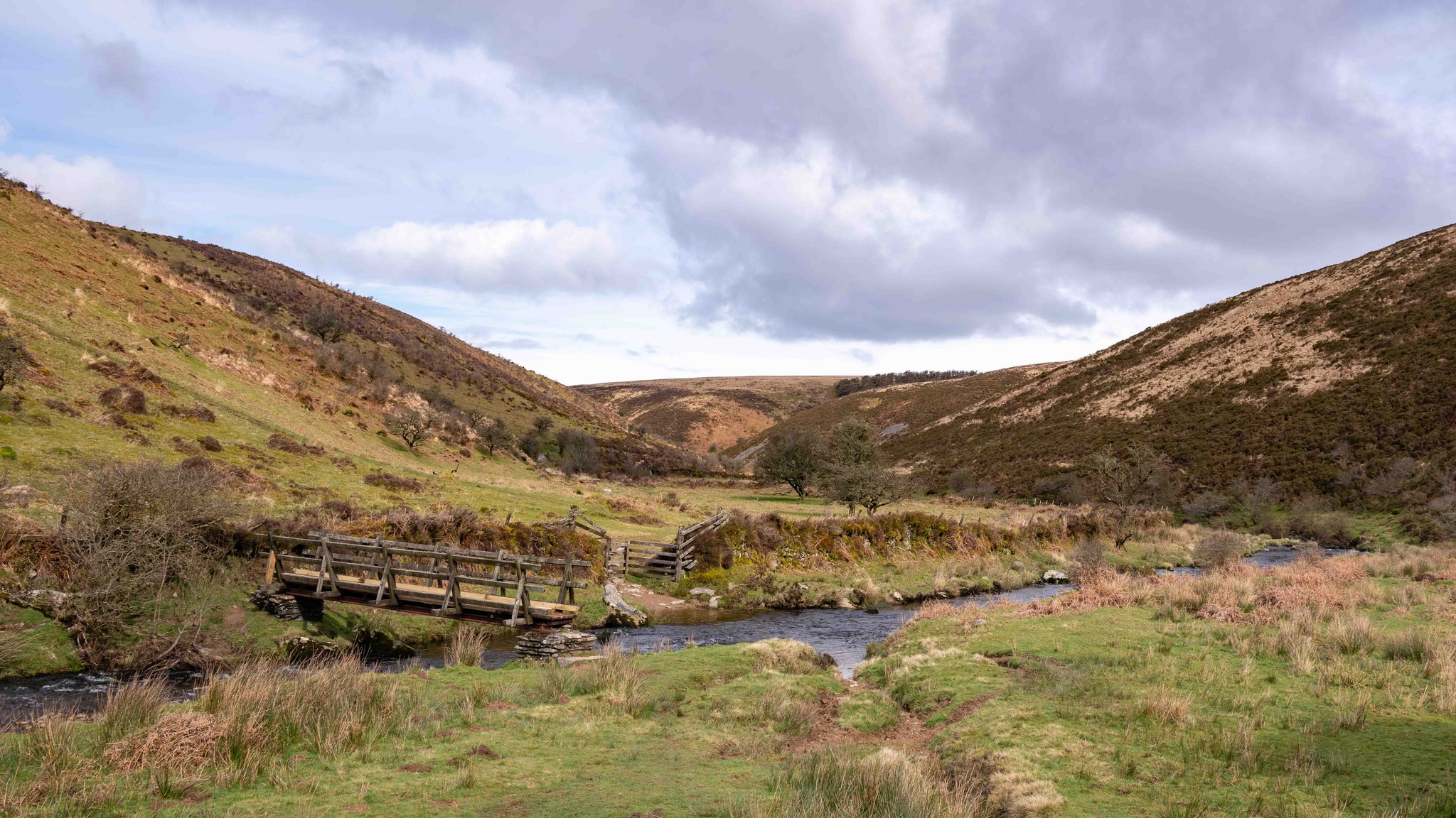
Pass through a gate and continue downhill to reach a steep path leading to Badgeworthy Water.
-
Cross the footbridge and take the path right, between grassy mounds. Cross a small stream, then climb near the wall to a gate. Continue ahead without passing through this gate to reach a second gate in the same wall, with a fingerpost signed Oare. Don’t be tempted to cross the Manor Allotment before this second gate — especially not in fog.
-
Turn left towards Oare, aiming for the fenced fields that appear over the horizon. Two pedestrian gates sit close together — pass through the left-hand one. Walk directly across South Common, staying about 25 metres from the right-hand fence to avoid rushes in the dip.
-
Crest the hill and pass through a gate. Turn sharp left, signed Oare, aiming for the beech hedge.
-
Follow the path beside the hedge along Stowey Ridge, through a gate onto Turf Allotment, and back into fields. Continue beside the hedge, now on your right, following diversion signs to a hunt gate. Descend the hill to reach a track just above Oare Church.
-
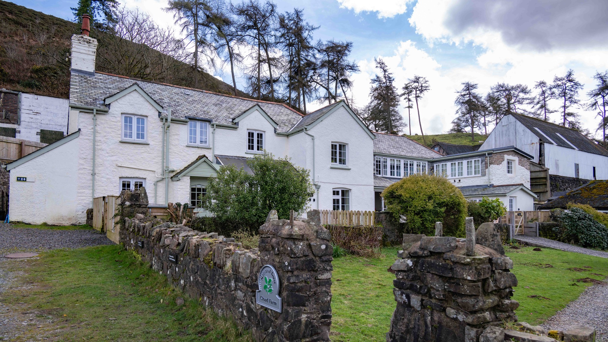
Turn left along the track towards Cloud Farm. In the next field, walk beside the wall as the track descends to Cloud Farm.
-
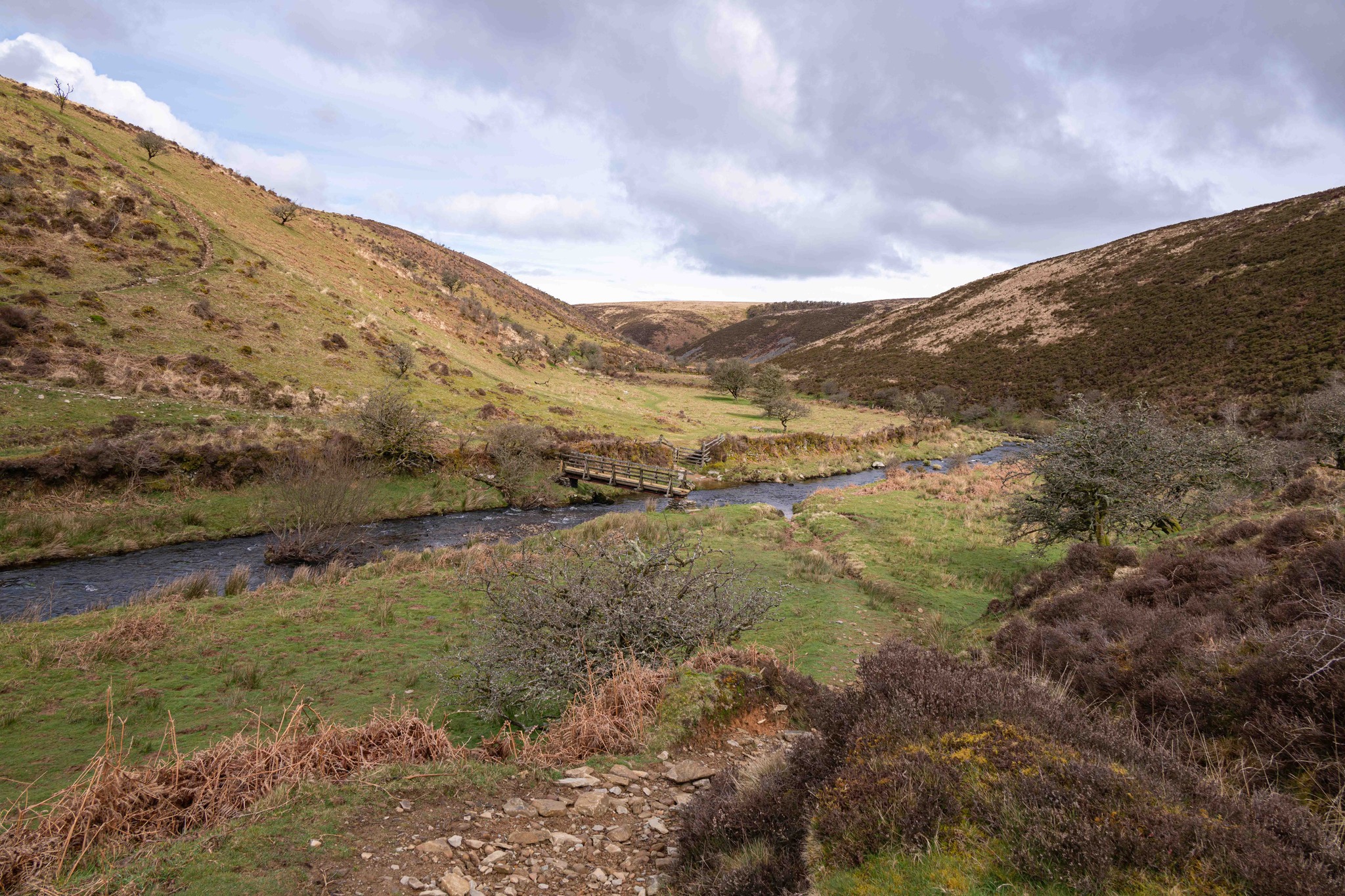
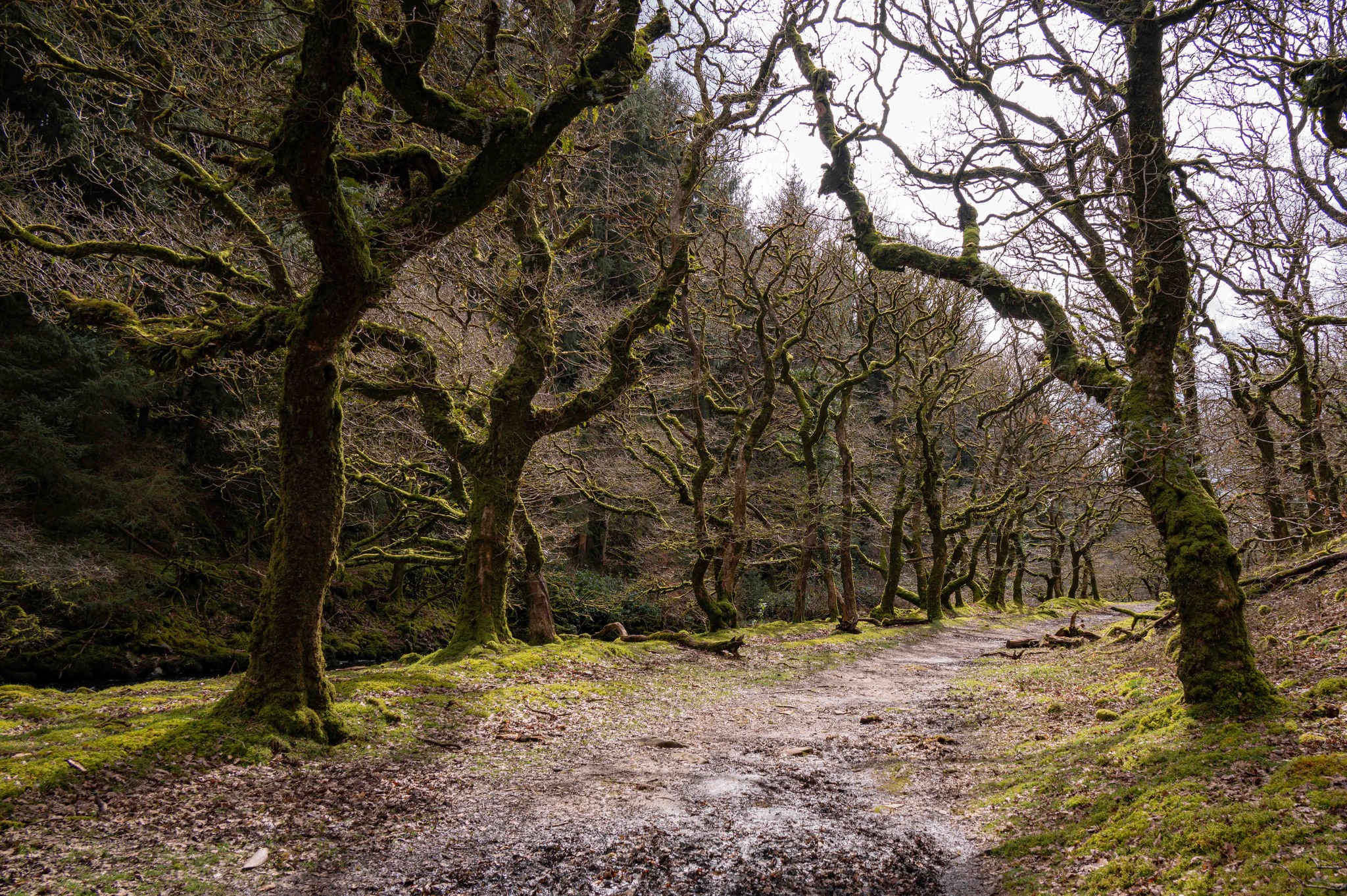
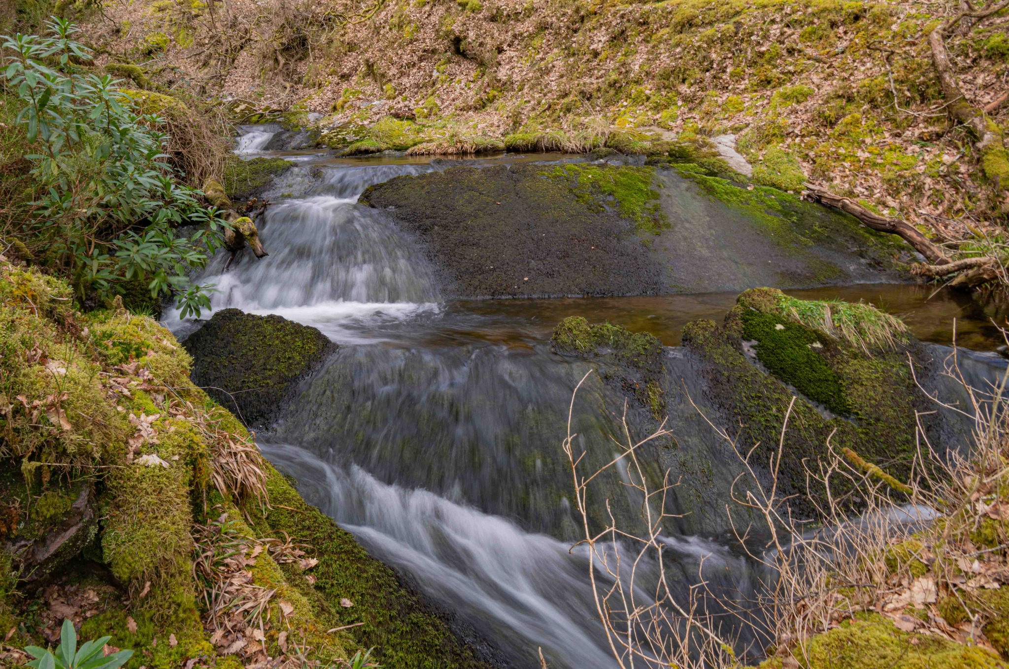
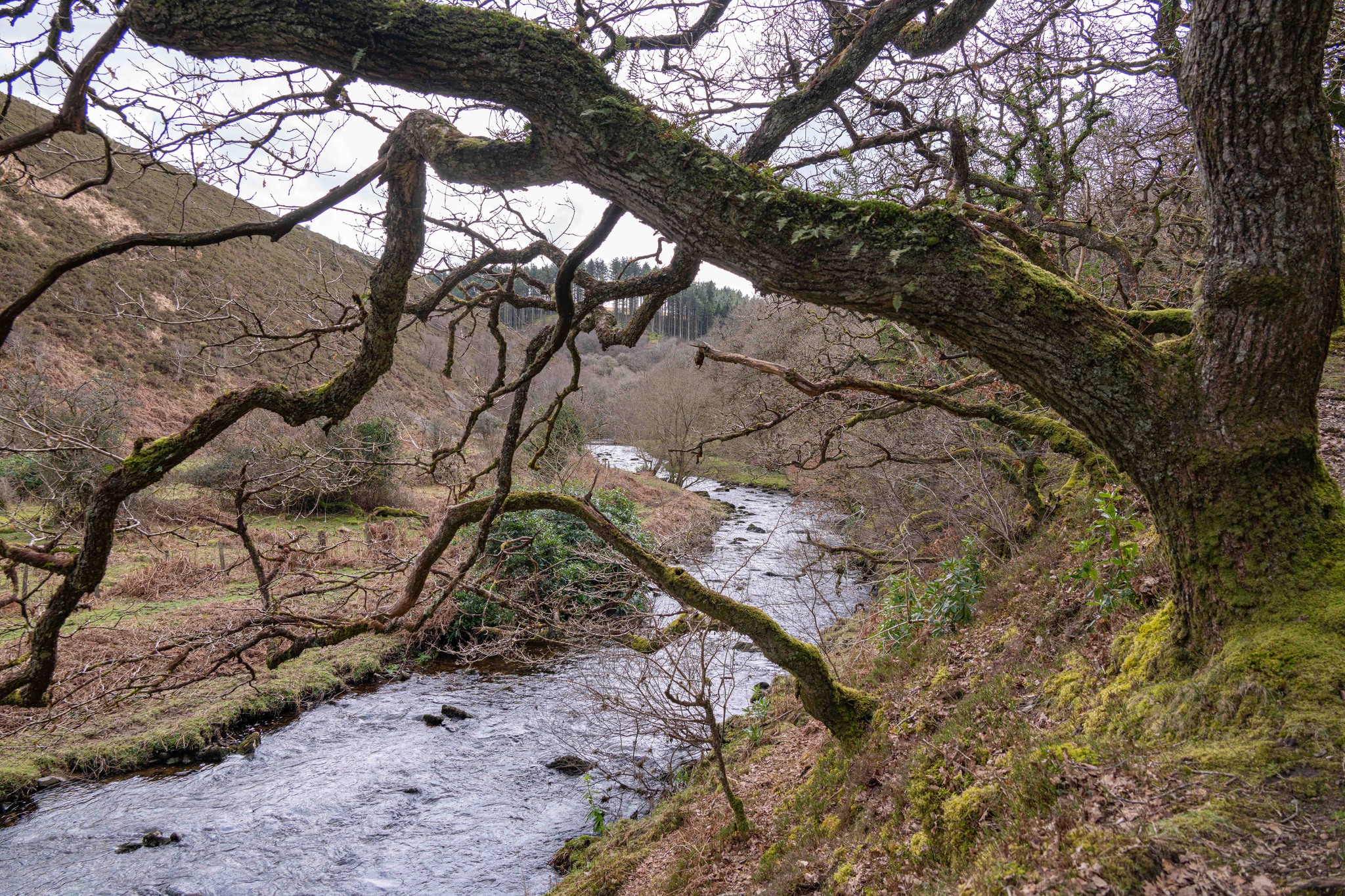
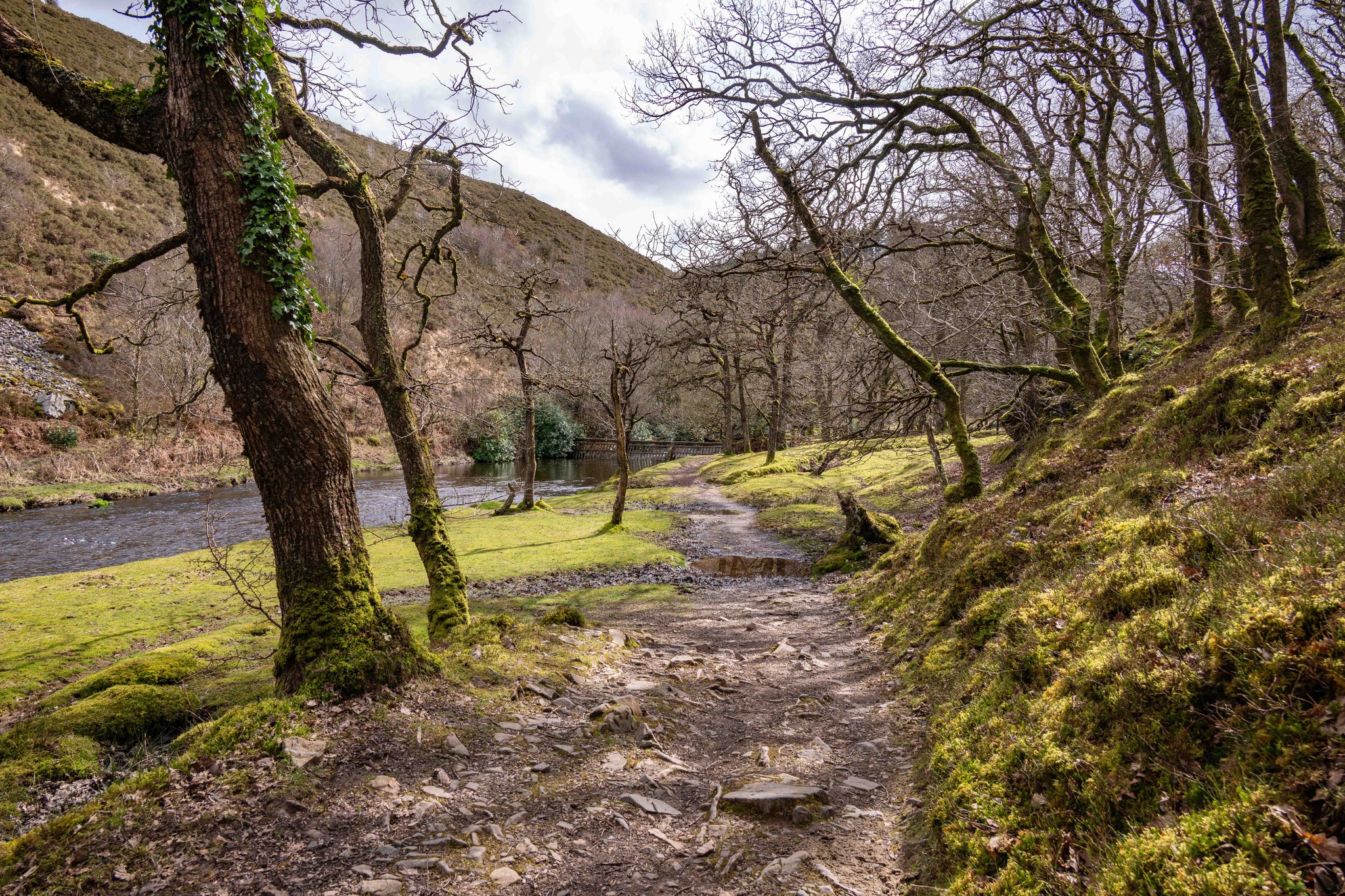
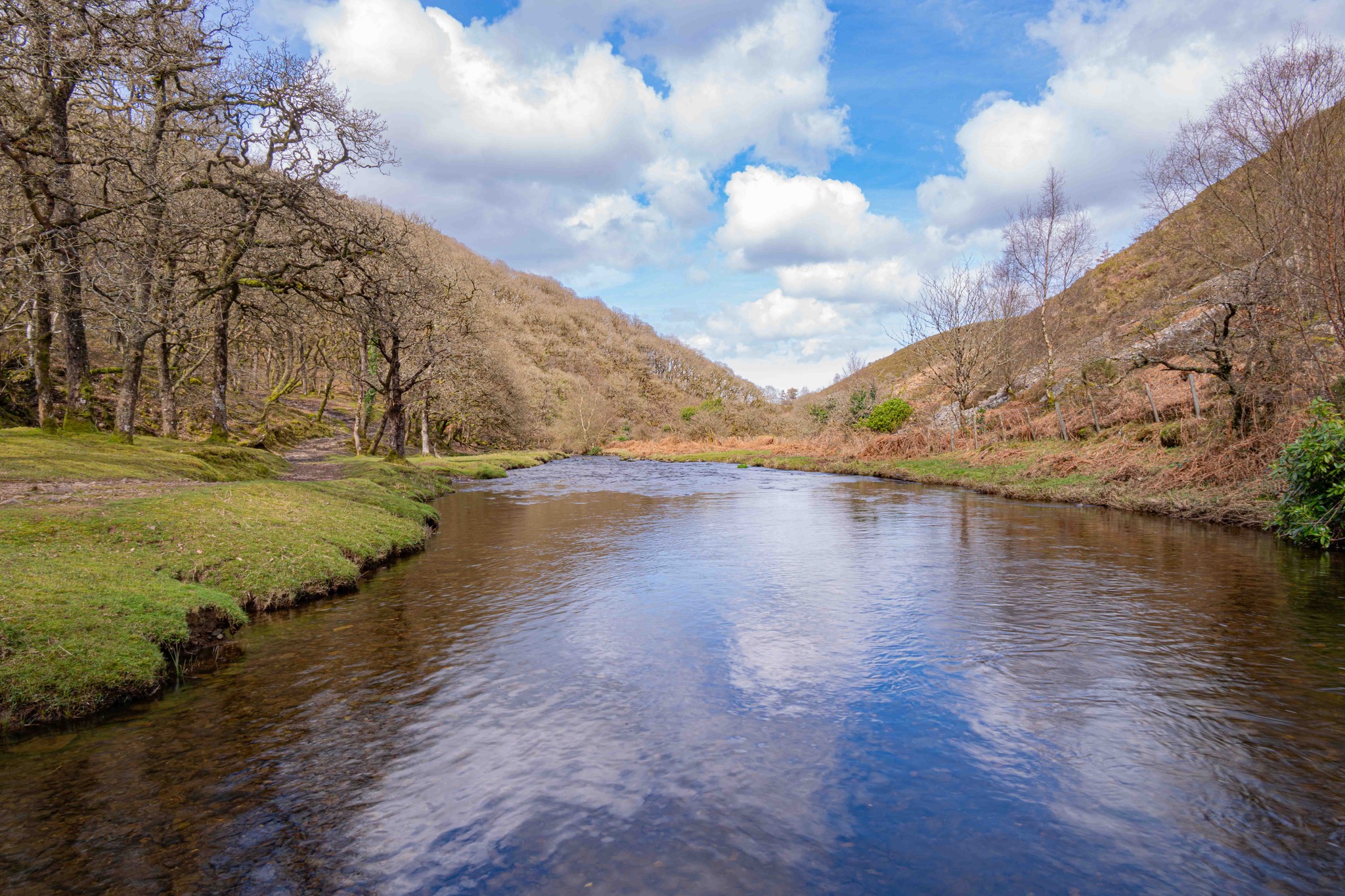
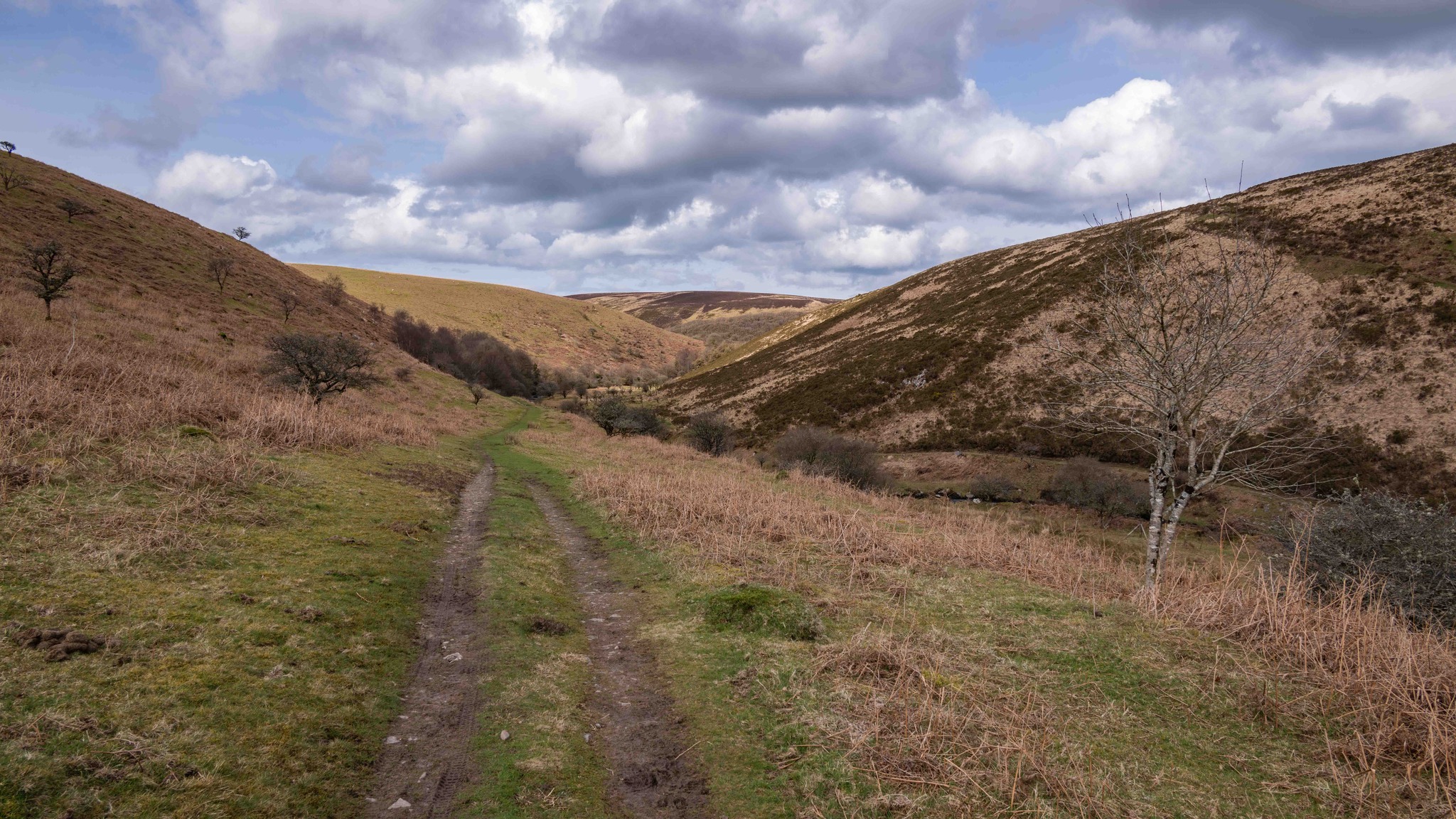
Cross the footbridge over Badgeworthy Water, then continue riverside through a gate and over another footbridge at the base of Lankcombe — the site of the “water slide” featured in Lorna Doone.
-
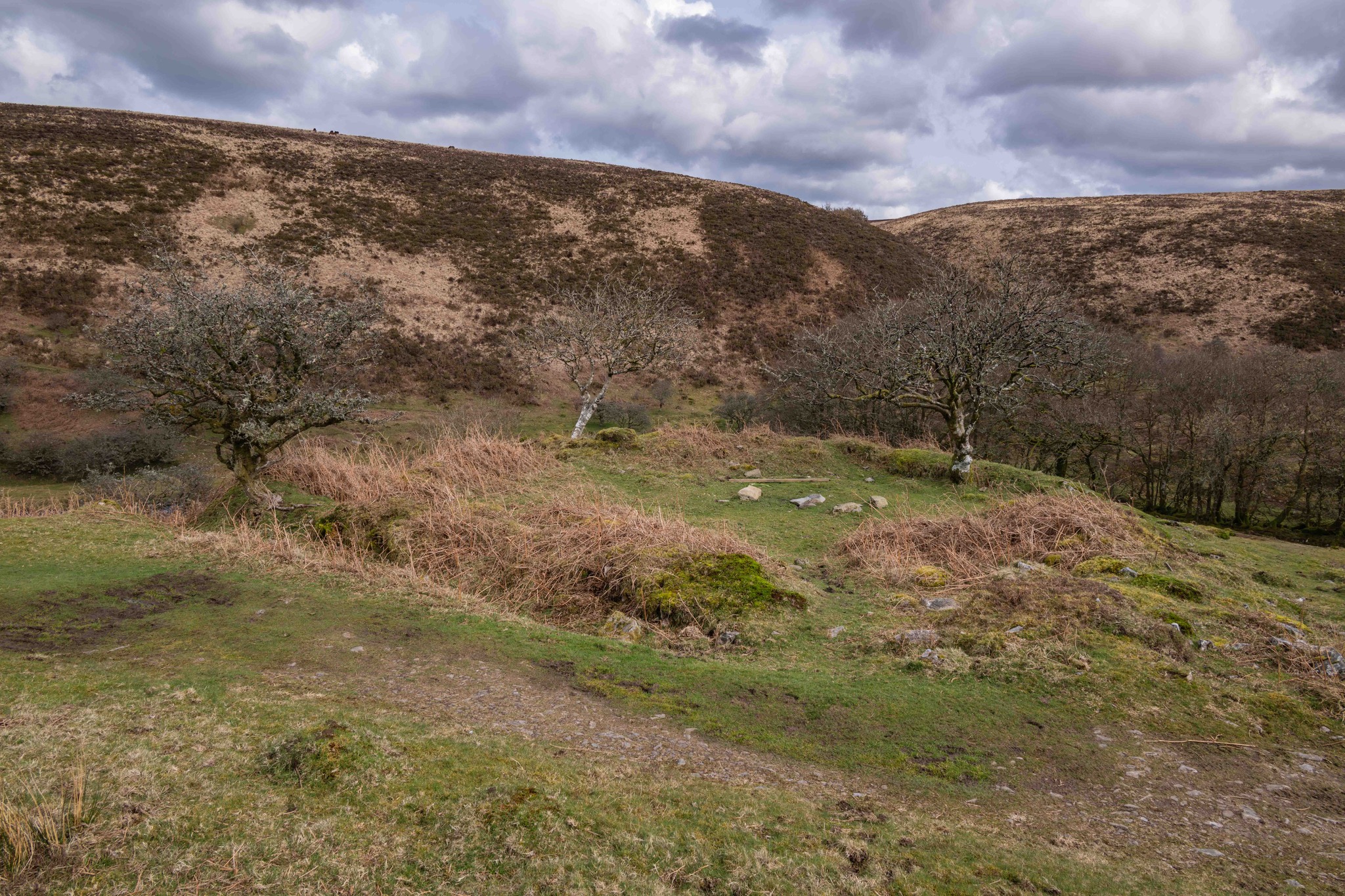
Continue ahead to leave the woods. As the path rises, you’ll arrive at the site of a medieval village and Badgeworthy Cottage. The track curves right around the hill, climbing past the ruins and through a gap in the wall.
-
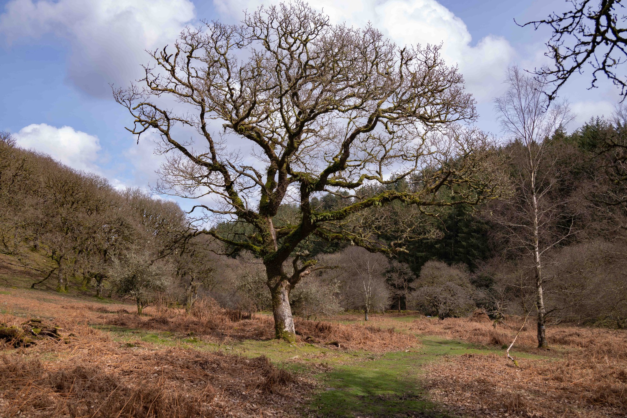
Here the route leaves mapped footpaths. Take the left grassy path along the side of the Combe, passing through a dip with a hawthorn before curving left, remaining above the Combe. Continue on the clearer track to a metal gate in the wall.
-
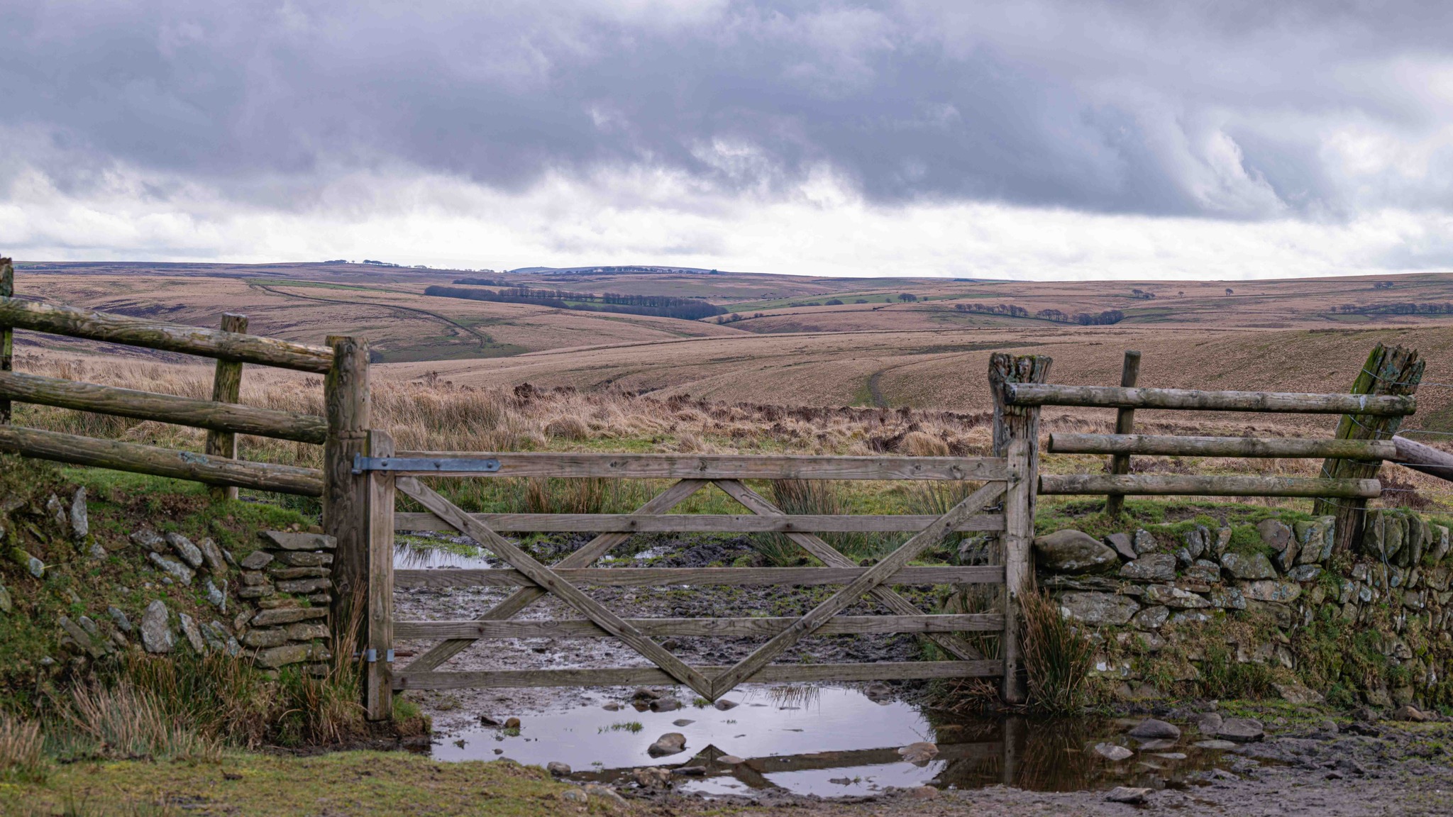
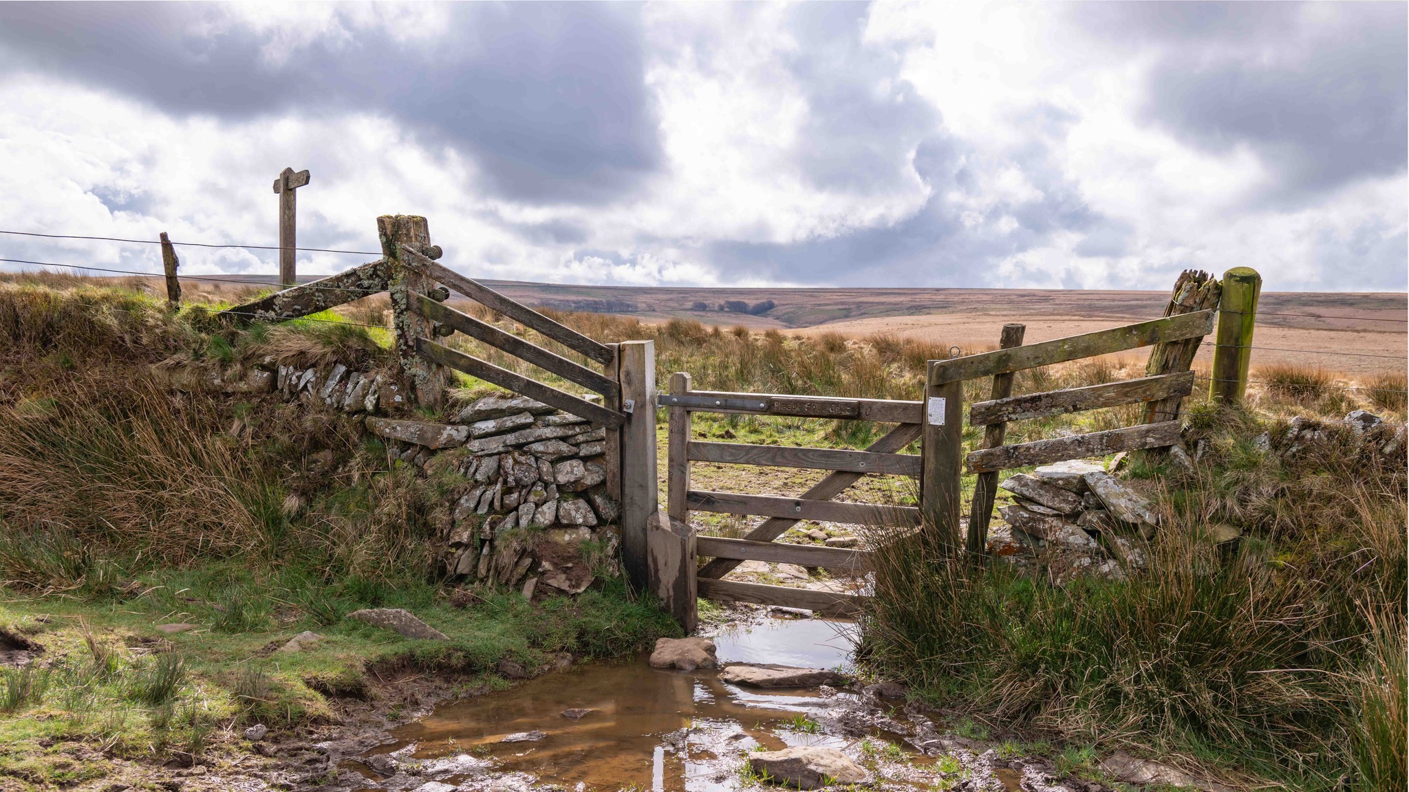
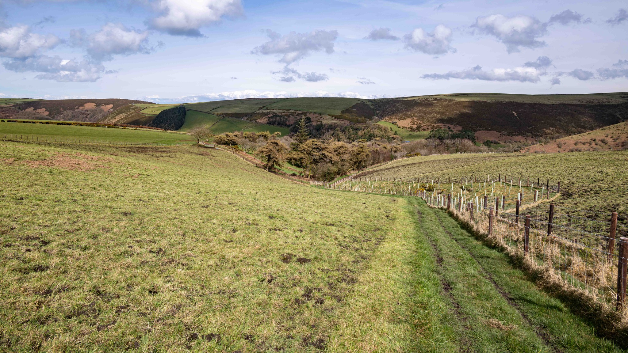
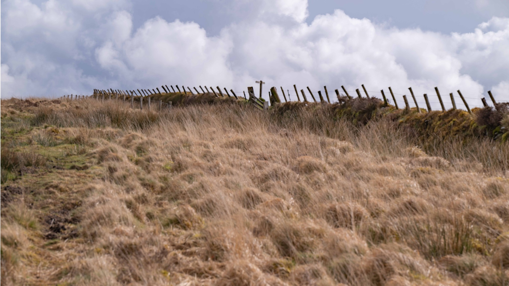
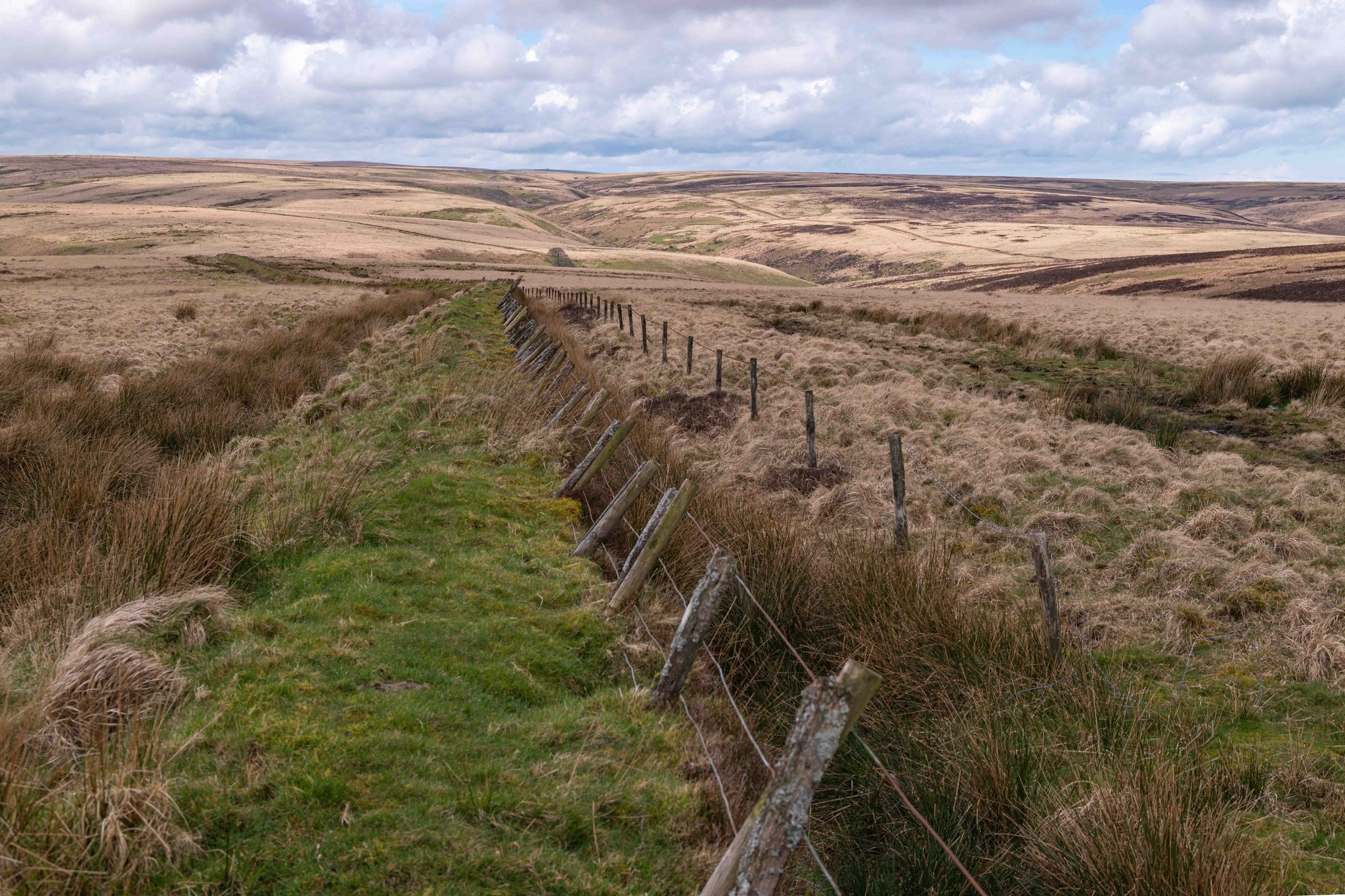
Cross a small stream and ford Hoccombe Combe, climbing up onto Hoccombe Hill. At the crest, remain on the left fork, keeping the wall in sight until you reach a large gate — often with an enormous puddle beneath, even in summer. (There are faint paths, but if you’re unfamiliar with the terrain, this gate is the clearest option.)
-
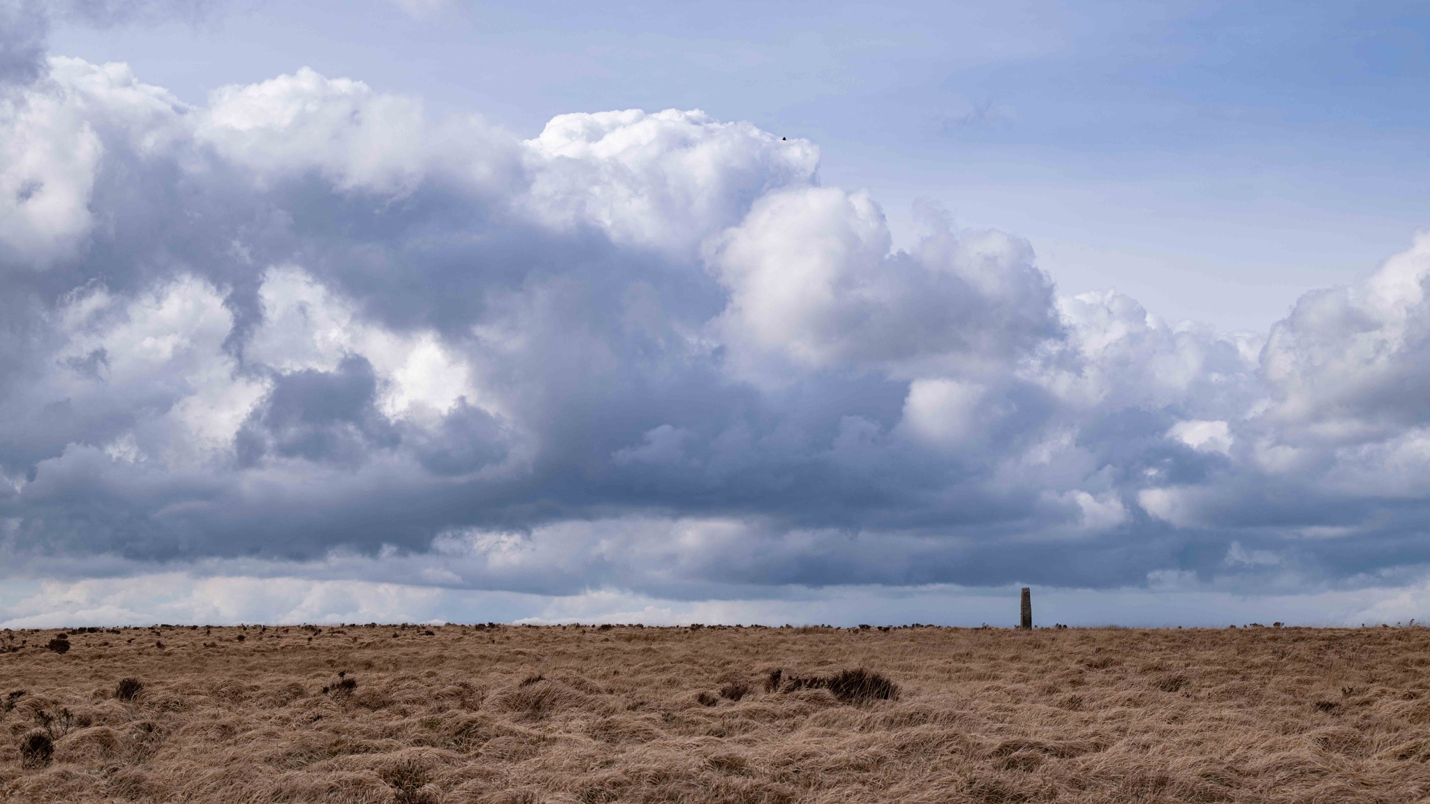
From the gate, you can see the start point. Follow the wide but often very wet grassy track back towards the B3223. You’ll pass wartime concrete posts before reaching the Maclaren Memorial a short distance from the road. Turn left along the road to return to the layby.
If you’re looking for a Minehead-based walk, try the Greenaleigh Farm Circular Walk.
Highlights
-
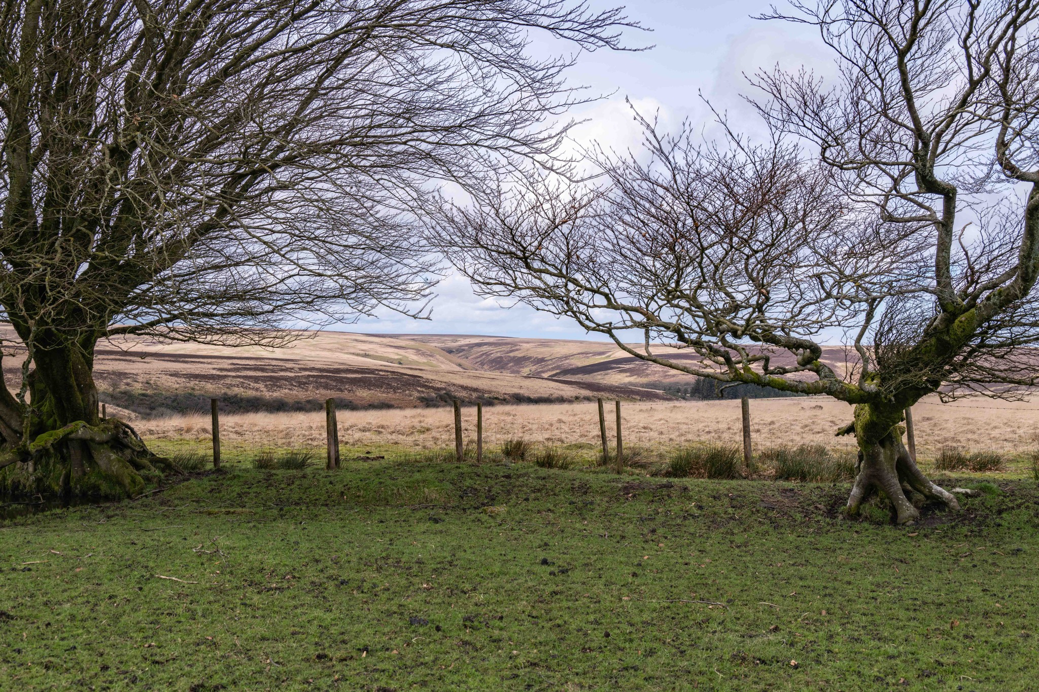
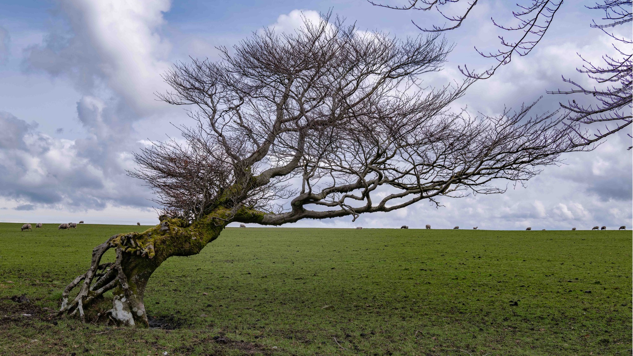
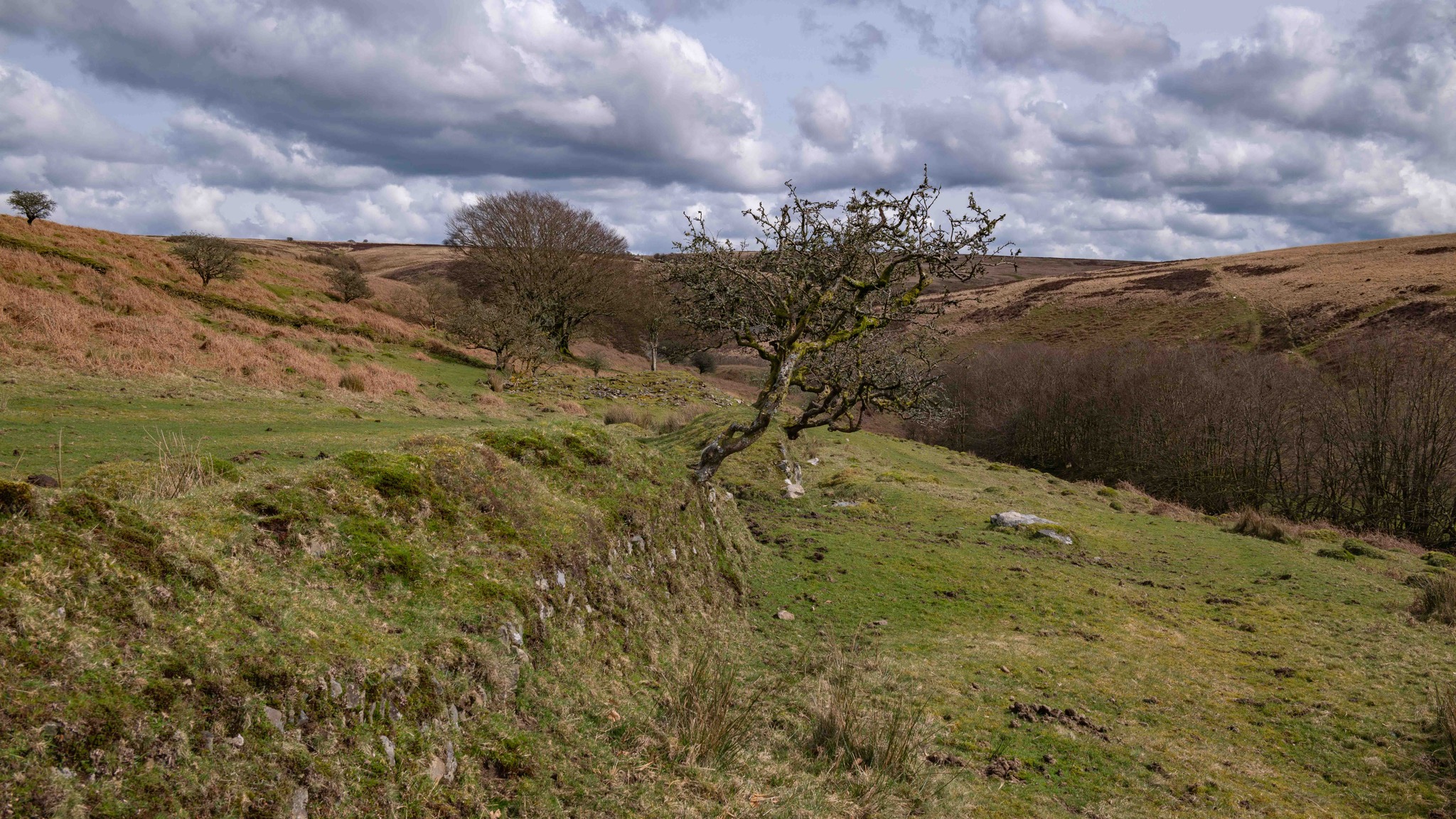
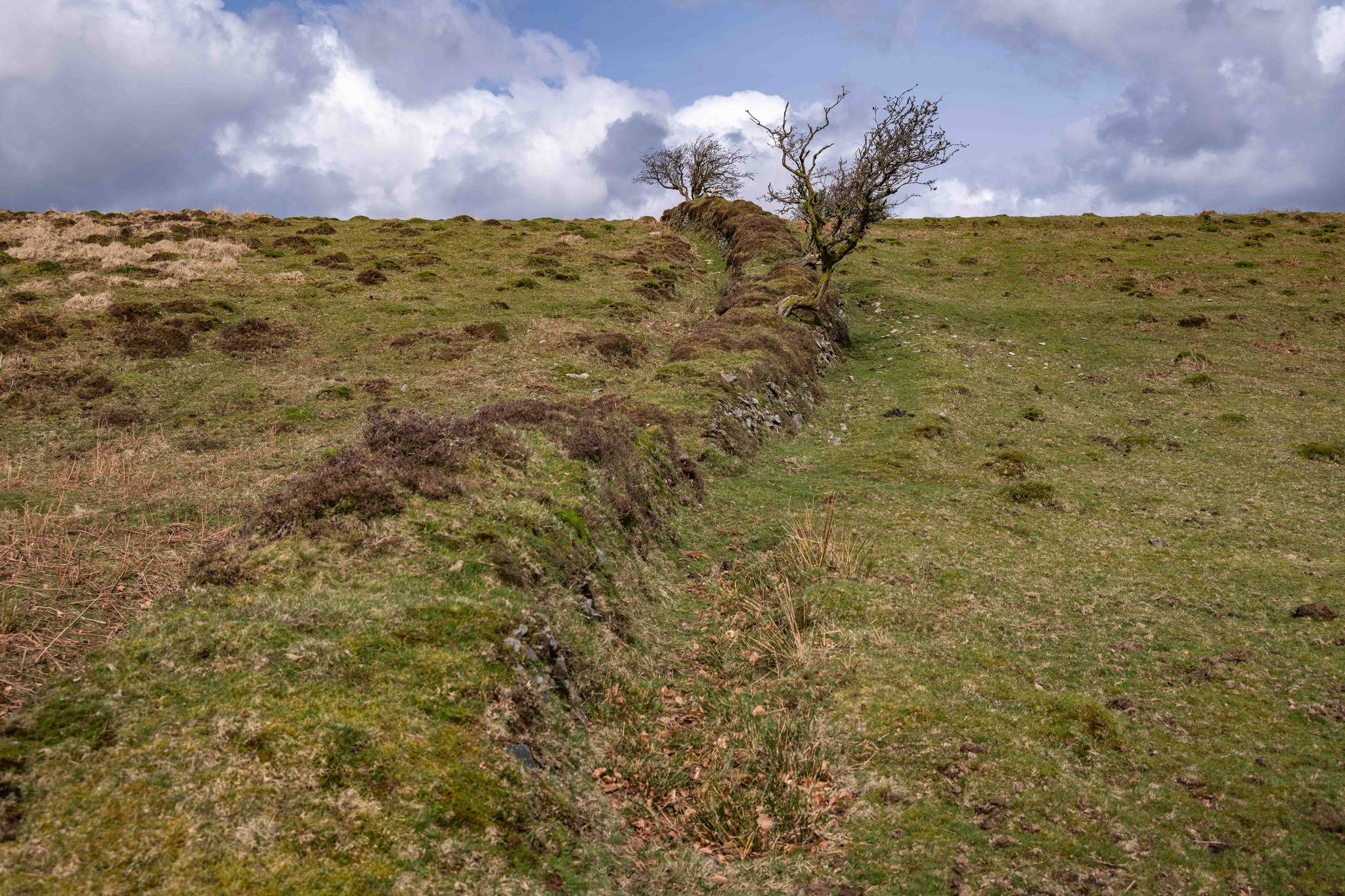
Sweeping views across Brendon Common and Hoccombe Hill
-
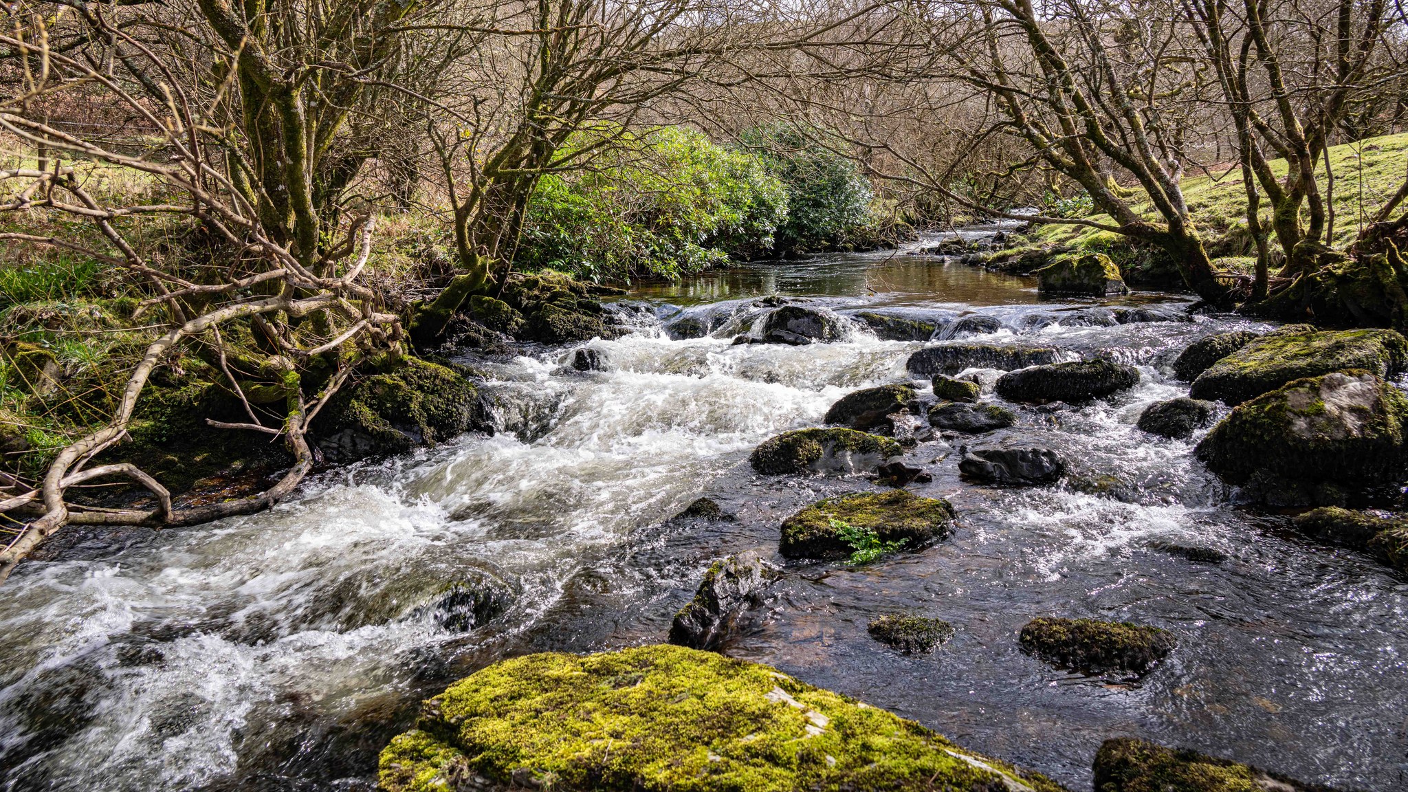
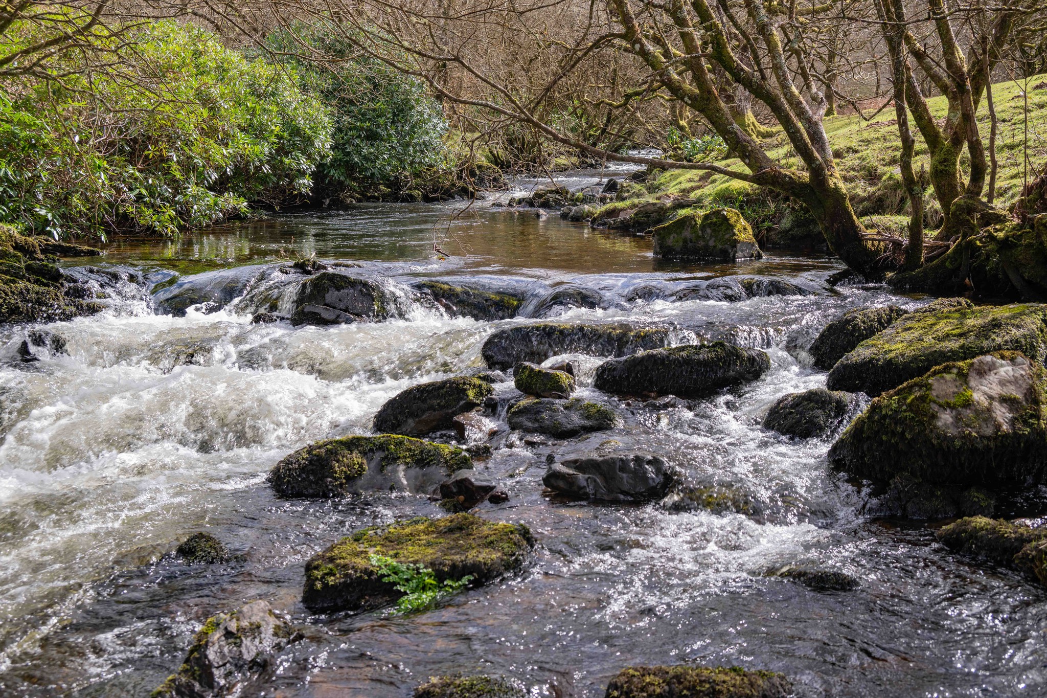
Badgeworthy Water & bridges – perfect picnic spots
-
Oare Church & Cloud Farm, with Lorna Doone connections
-
Lankcombe water slide – straight out of the novel
-
Ruins of Badgeworthy village – a glimpse into Exmoor’s past
-
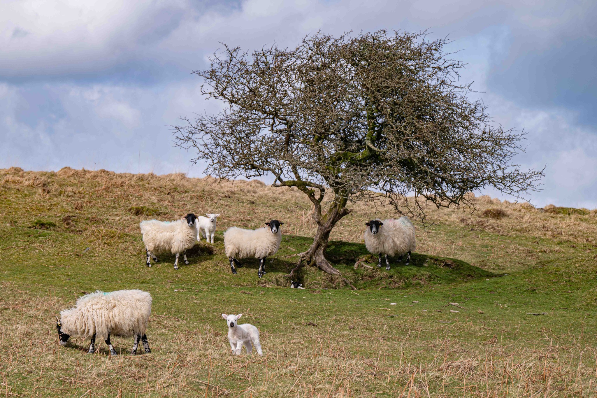
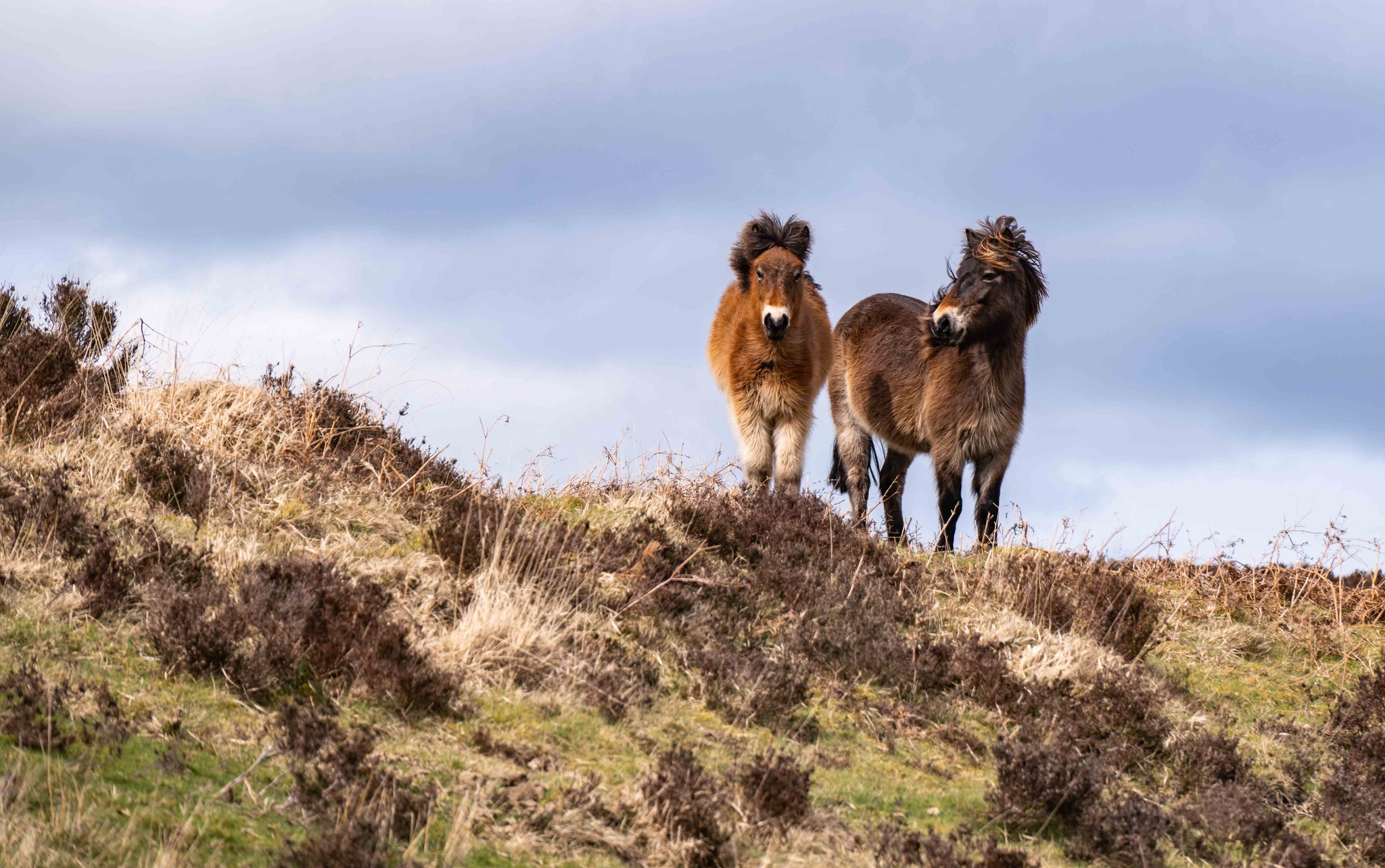
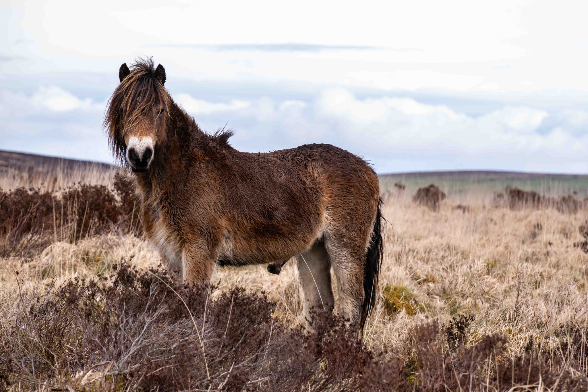
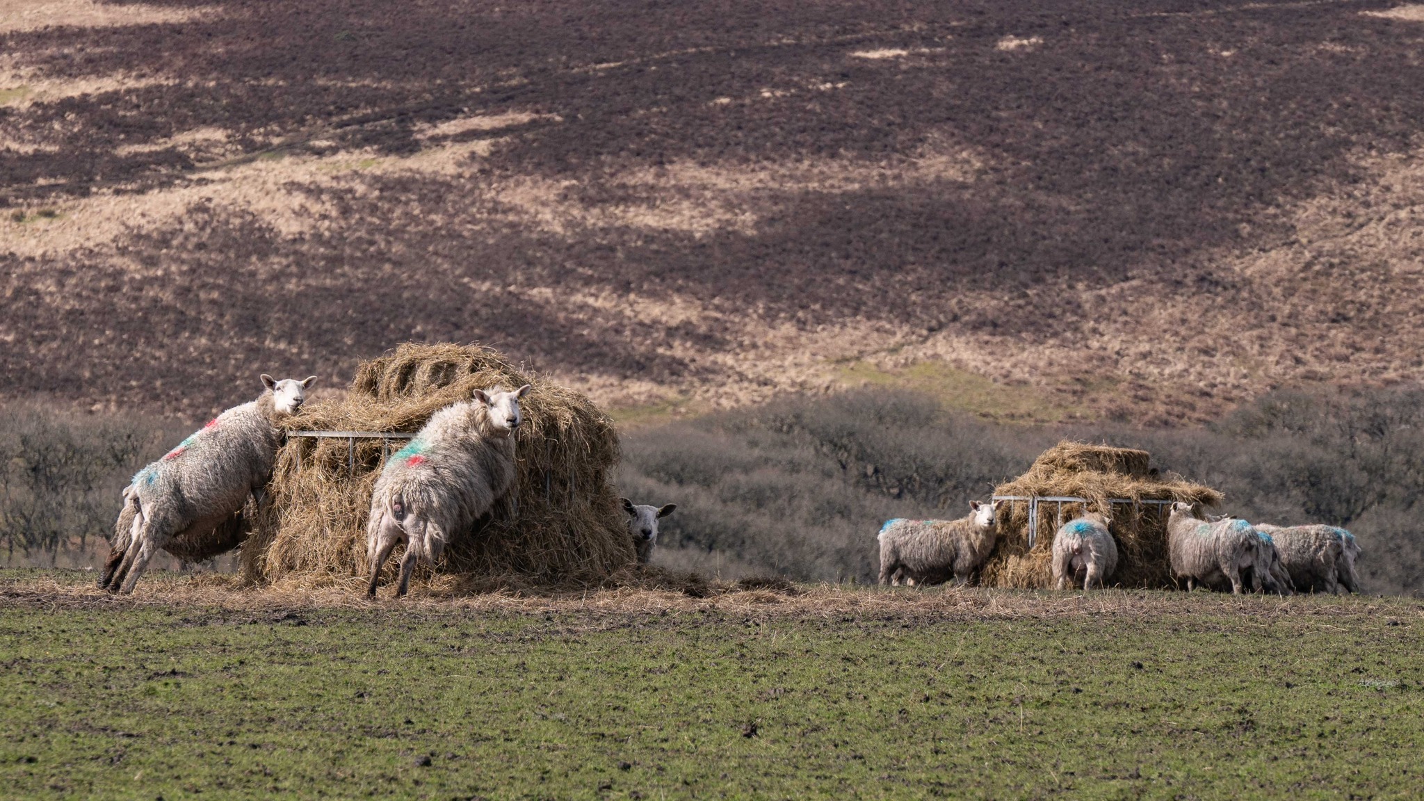
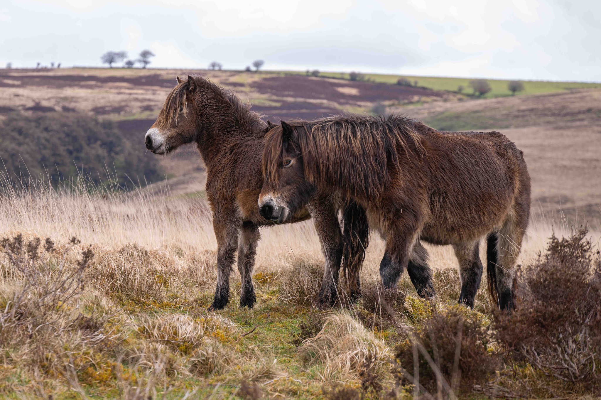
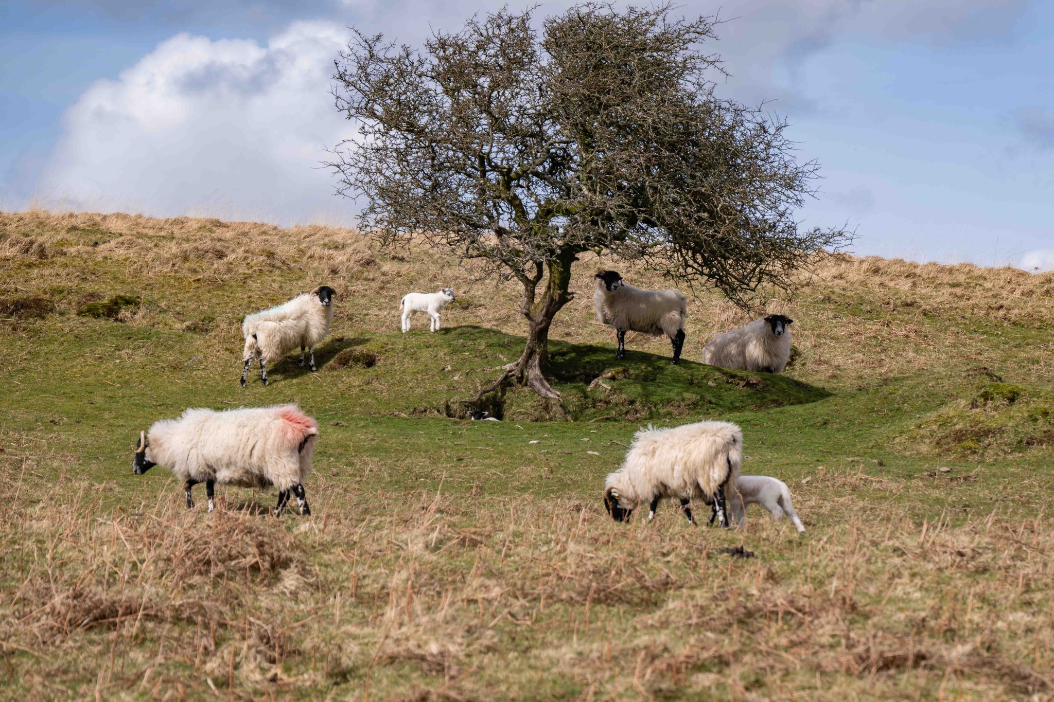
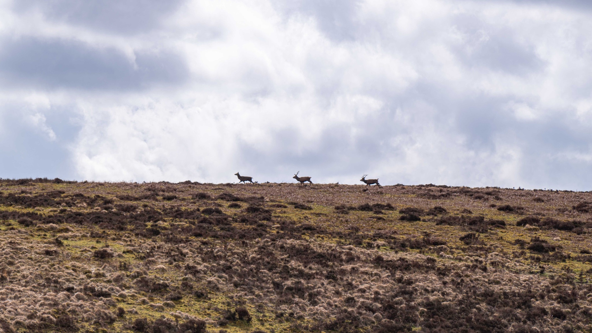
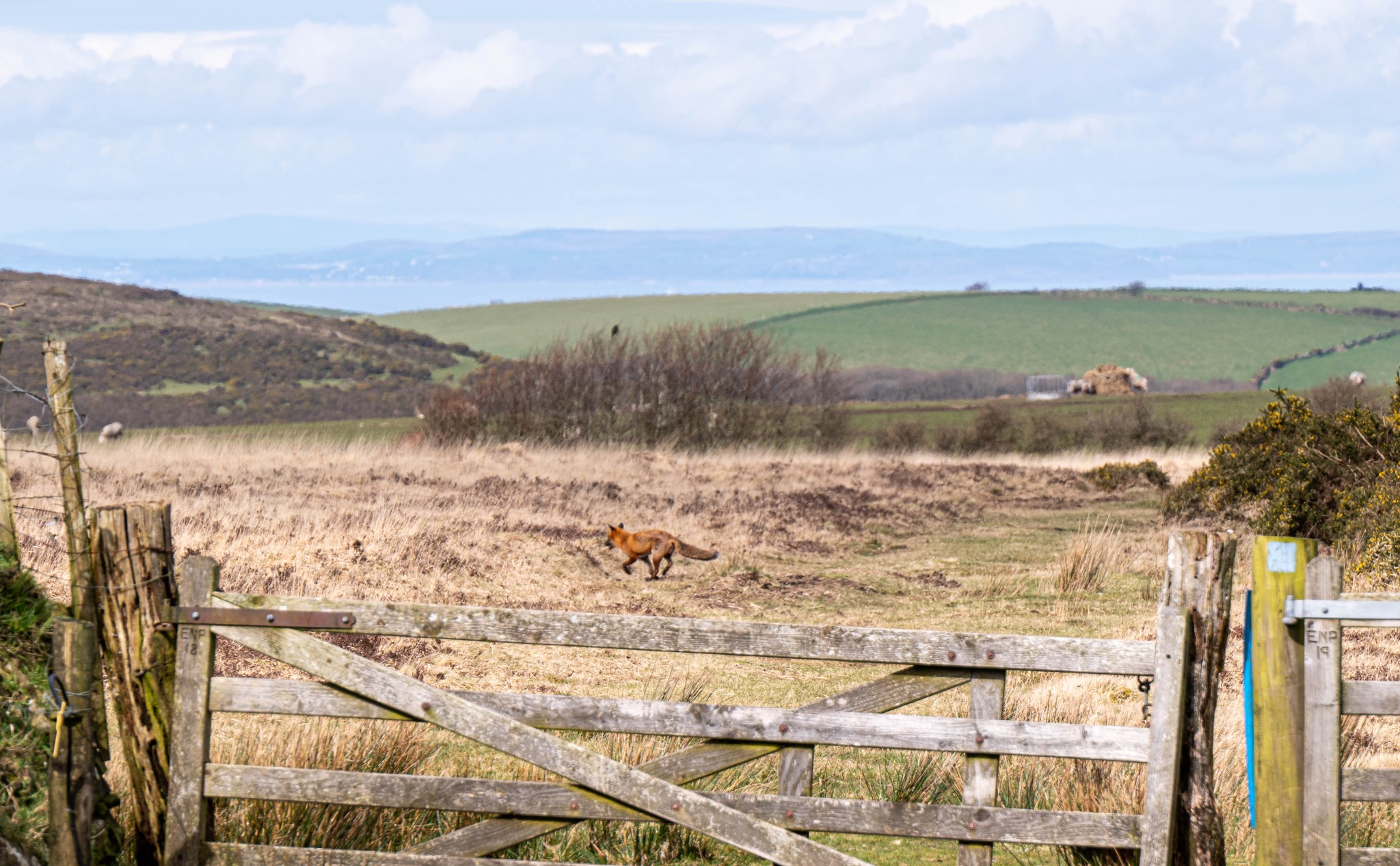
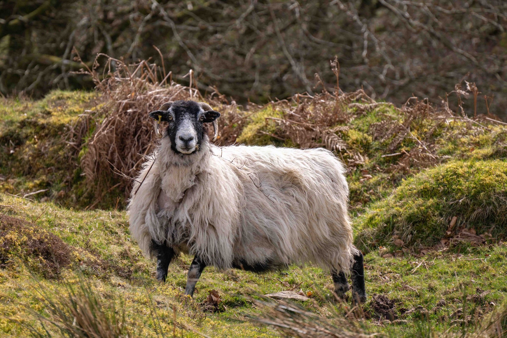
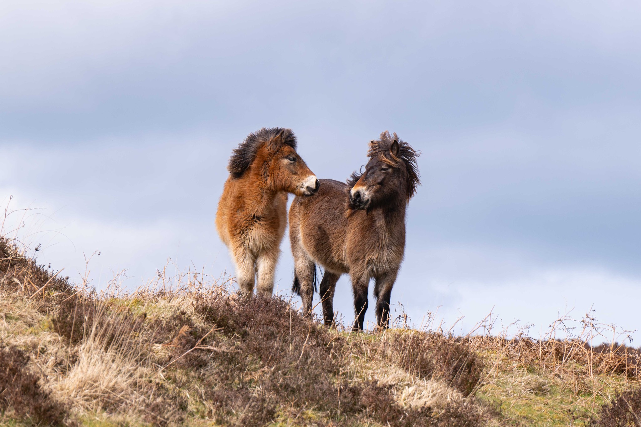
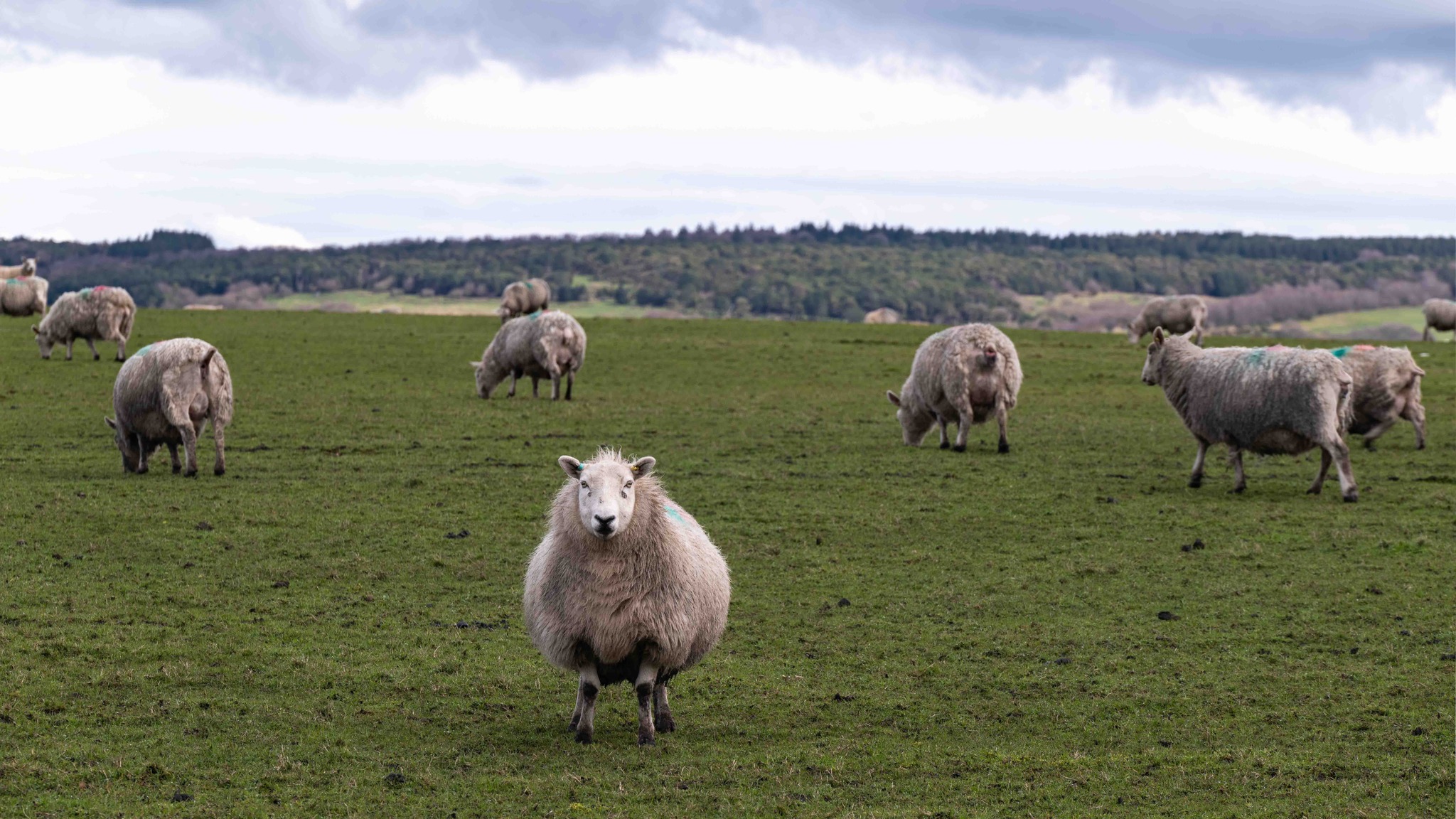
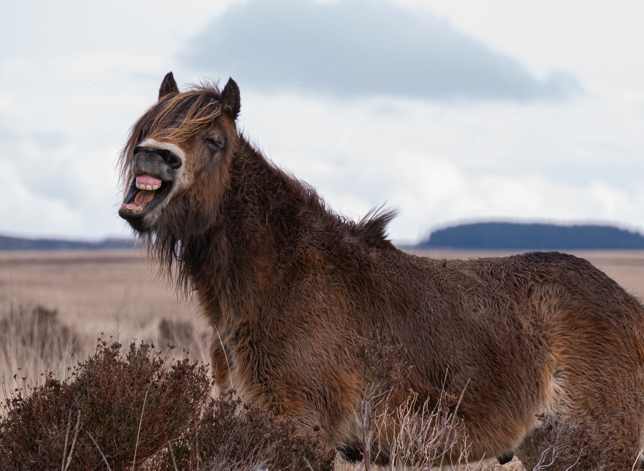
Wildlife encounters – Exmoor ponies, sheep and soaring buzzards
-
Maclaren Memorial – a poignant landmark near the finish
Walk Essentials
-
Length: 11.3 miles (18 km)
-
Time: 5–6 hours
-
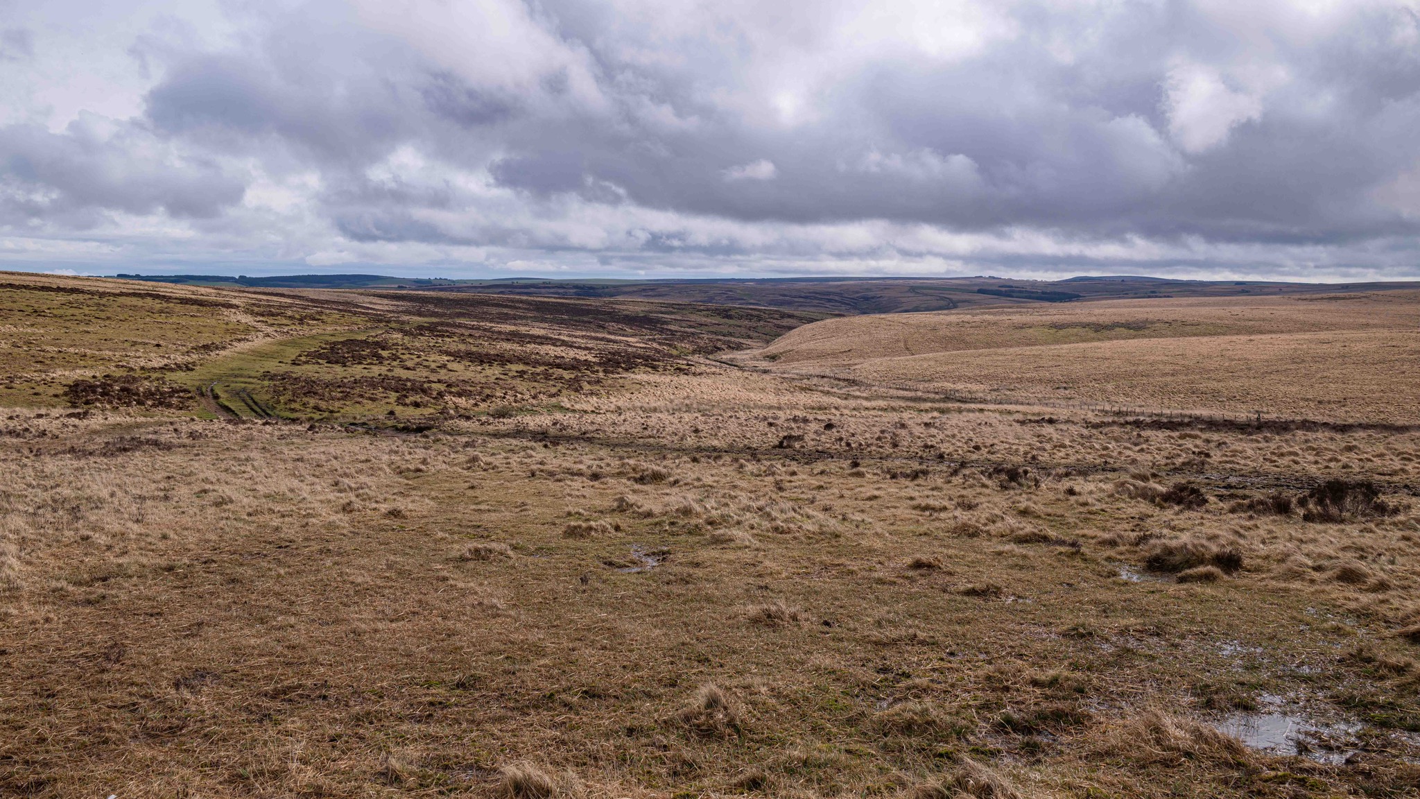
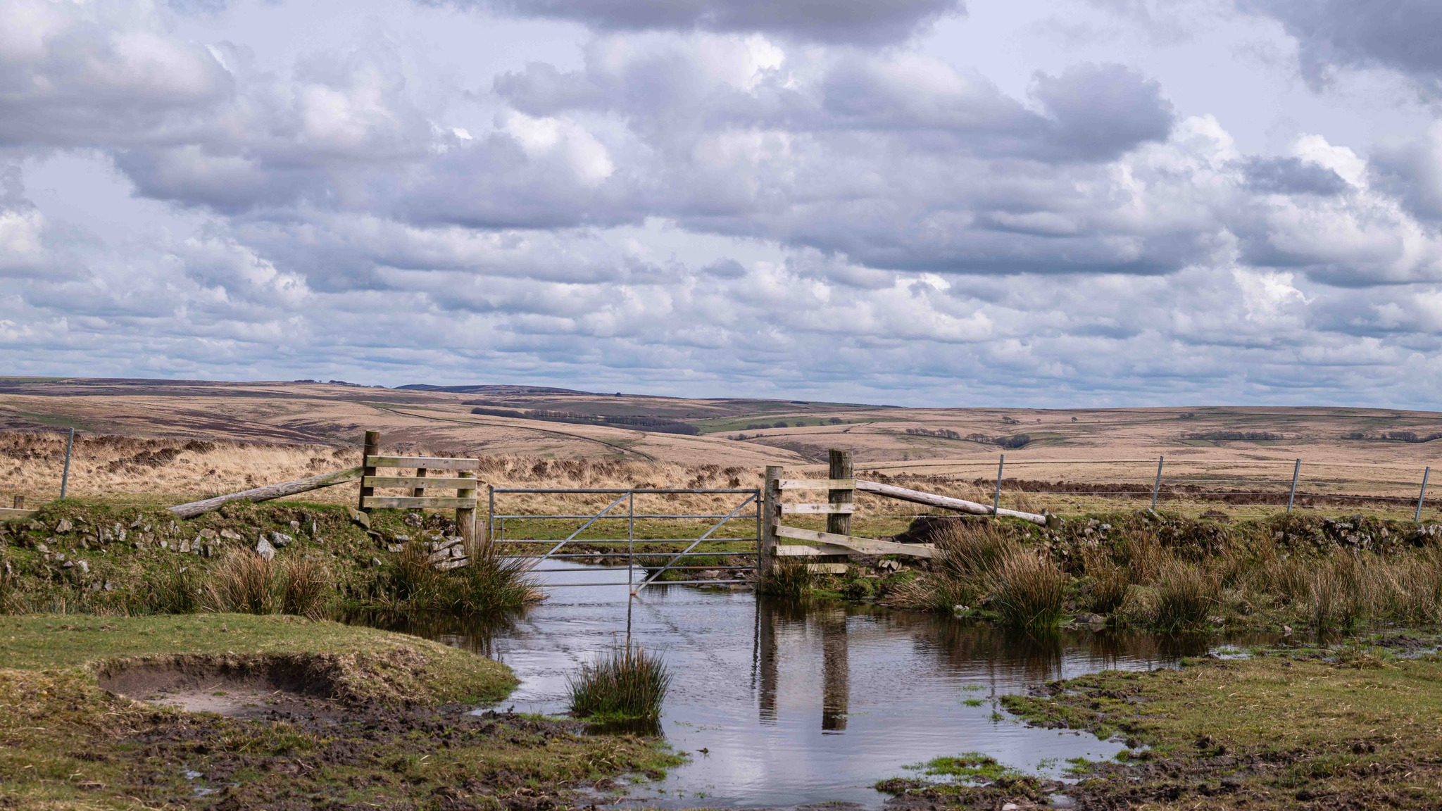
Terrain: Moorland tracks, steep paths, riverside walking, often boggy in places
-
Start/Finish: Layby near cattle grid, B3223
-
Difficulty: Moderate to hard — good fitness needed
-
Dog-friendly: Yes, but livestock grazing — leads essential
📍 Ready to follow in Sarah and Jack’s footsteps? Book a cottage nearby and make this your base for exploring the Doone Valley.

Photos by Sarah Hailstone
The full route is around 11.3 miles (18 km), taking 5–6 hours depending on pace.
It begins and ends at a layby near a cattle grid on the B3223, crossing Brendon Common and looping through Doone Valley.
Yes, but keep dogs on leads near ponies, sheep, and cattle — much of the route crosses grazed moorland.
Expect a mix of moorland views, riverside paths, Oare Church, Cloud Farm, Badgeworthy Cottage ruins, and the famous Lorna Doone “water slide” spot.
It’s a challenging route due to the distance, several steep sections, and often boggy ground. A good level of fitness and sturdy boots are recommended.
Most of the paths are clear, but fog can make navigation tricky. Sarah’s map and photos are helpful, and an OS map is recommended.
The valley inspired R.D. Blackmore’s classic novel Lorna Doone, with landmarks like Oare Church and Lankcombe featuring in the story.
Yes — The Best of Exmoor has a wide range of cottages near Brendon, Oare, and the surrounding valleys, perfect for walking holidays.